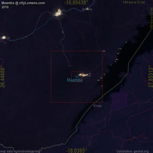
Maamba night lights from space
Night Light of Maamba (Southern) from space (Zambia) Src. Average luminocity for 10x10km area is 4.5744% and for 50x50km: 0.6888%.
Analysis of Maamba night lights 2016
Square area 10x10 km:
 0.41%
0.41%90-99
0.41%80-89
0.83%70-79
0%60-69
0.83%50-59
0.21%40-49
1.45%30-39
1.65%20-29
0.83%10-19
0%0-9
93.39%Square area 50x50 km:
0.02%90-99
0.02%80-89
0.1%70-79
0.1%60-69
0.12%50-59
0.13%40-49
0.3%30-39
0.12%20-29
0.14%10-19
0%0-9
98.96%Clear (daylight) street map image can be seen on geolist.org.
Map coordinates:
16° 41' 39.8" South, 26° 26' 48.8" East
17° 22' 0" South, 27° 9' 0" East
18° 2' 11.4" South, 27° 51' 11.3" East
Some cities around Maamba sort by population:
• Livingstone
147.1 km =91.4 mi,  248°
248°
• Mazabuka
179.6 km =111.6 mi,  20°
20°
• Choma
64.4 km =40 mi,  344°
344°
• Victoria Falls, ZW
153.3 km =95.3 mi, 245°
• Hwange, ZW
130.6 km =81.2 mi,  211°
211°
• Monze
125.6 km =78 mi, 16°
• Sinazongwe
35.1 km =21.8 mi,  70°
70°
• Nakambala
183.3 km =113.9 mi, 21°
908718 (p: 12,251)
Sources (retrieved 2019-11-25):
» Earth at Night: Flat Maps 2012, 2016