Siavonga night lights from space
Night Light of Siavonga (Southern) from space (Zambia) Src. Average luminocity for 10x10km area is 11.1839% and for 50x50km: 1.2164%.
Analysis of Siavonga night lights 2016
Square area 10x10 km:
 1.45%
1.45%90-99
0.21%80-89
0%70-79
0%60-69
2.69%50-59
3.1%40-49
4.96%30-39
2.07%20-29
0.41%10-19
4.75%0-9
80.37%Square area 50x50 km:
0.08%90-99
0.09%80-89
0.08%70-79
0.07%60-69
0.15%50-59
0.27%40-49
0.57%30-39
0.24%20-29
0.1%10-19
0.22%0-9
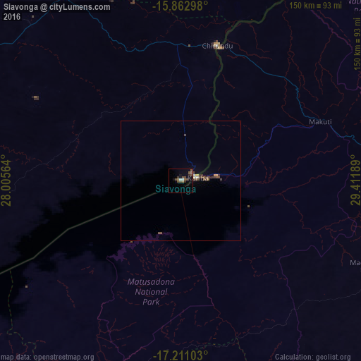
98.12%Clear (daylight) street map image can be seen on geolist.org.
Map coordinates:
15° 51' 46.7" South, 28° 0' 20.3" East
16° 32' 17.4" South, 28° 42' 31.5" East
17° 12' 39.7" South, 29° 24' 42.8" East
Some cities around Siavonga sort by population:
• Lusaka
133.6 km =83 mi,  340°
340°
• Mazabuka
127.6 km =79.3 mi,  306°
306°
• Kafue
102.4 km =63.6 mi,  326°
326°
• Monze
133.7 km =83.1 mi,  282°
282°
• Kariba, ZW
10 km =6.2 mi,  76°
76°
• Karoi, ZW
109 km =67.7 mi,  106°
106°
• Nakambala
126.5 km =78.6 mi, 308°
• Chongwe
134.5 km =83.6 mi,  358°
358°
898188 (p: 18,638)
Sources (retrieved 2019-11-25):
» Earth at Night: Flat Maps 2012, 2016