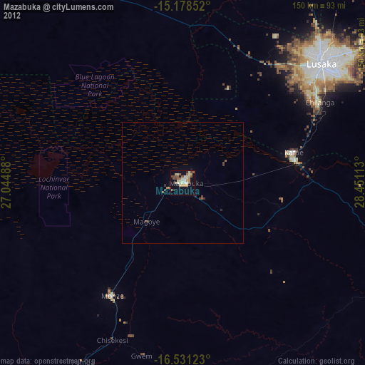
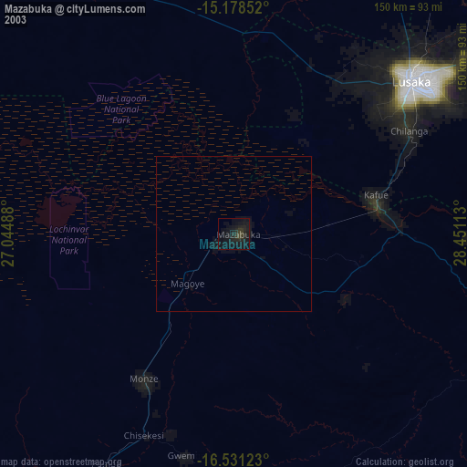
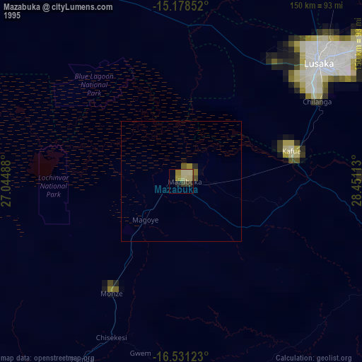
Mazabuka night lights from space
Night Light of Mazabuka (Southern) from space (Zambia) Src. Average luminocity for 10x10km area is 36.5238% and for 50x50km: 1.899%.

Analysis of Mazabuka night lights 2016
Square area 10x10 km:
 4.55%
4.55%90-99
6.93%80-89
2.38%70-79
6.49%60-69
6.49%50-59
3.25%40-49
7.58%30-39
7.79%20-29
2.81%10-19
36.15%0-9
15.58%Square area 50x50 km:
0.17%90-99
0.26%80-89
0.09%70-79
0.28%60-69
0.29%50-59
0.28%40-49
0.34%30-39
0.41%20-29
0.19%10-19
1.84%0-9
95.86%Clear (daylight) street map image can be seen on geolist.org.
Map coordinates:
15° 10' 42.7" South, 27° 2' 41.6" East
15° 51' 21.6" South, 27° 44' 52.8" East
16° 31' 52.4" South, 28° 27' 4.1" East
Some cities around Mazabuka sort by population:
• Lusaka
76.3 km =47.4 mi,  49°
49°
• Kafue
47.4 km =29.5 mi,  78°
78°
• Choma
133.5 km =83 mi,  217°
217°
• Monze
55.3 km =34.4 mi,  210°
210°
• Mumbwa
121.8 km =75.7 mi,  322°
322°
• Siavonga
127.6 km =79.3 mi,  126°
126°
• Nakambala
4.3 km =2.7 mi, 52°
• Chongwe
115.9 km =72 mi,  59°
59°
907111 (p: 64,006)
Sources (retrieved 2019-11-25):
» NASA, Earths city lights 1995
» NASA city lights 2003
» Earth at Night: Flat Maps 2012, 2016