Petauke night lights from space
Night Light of Petauke (Eastern) from space (Zambia) Src. Average luminocity for 10x10km area is 13.6472% and for 50x50km: 0.6443%.
Analysis of Petauke night lights 2016
Square area 10x10 km:
 1.08%
1.08%90-99
0.65%80-89
0.22%70-79
5.41%60-69
1.3%50-59
5.19%40-49
1.73%30-39
0.87%20-29
0.87%10-19
1.08%0-9
81.6%Square area 50x50 km:
0.04%90-99
0.03%80-89
0.01%70-79
0.21%60-69
0.05%50-59
0.23%40-49
0.15%30-39
0.05%20-29
0.03%10-19
0.08%0-9
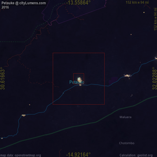
99.12%Clear (daylight) street map image can be seen on geolist.org.
Map coordinates:
13° 33' 31.1" South, 30° 36' 59.9" East
14° 14' 28.2" South, 31° 19' 11.1" East
14° 55' 17.9" South, 32° 1' 22.4" East
Some cities around Petauke sort by population:
• Lilongwe, MW
267.8 km =166.4 mi,  83°
83°
• Chipata
158.7 km =98.6 mi,  64°
64°
• Kasungu, MW
269.6 km =167.5 mi, 60°
• Mpika
268 km =166.5 mi,  3°
3°
• Mchinji, MW
175.4 km =109 mi,  73°
73°
• Mkushi
219 km =136.1 mi,  288°
288°
• Mponela, MW
272.9 km =169.6 mi, 73°
• Serenje
162.2 km =100.8 mi,  313°
313°
899825 (p: 19,296)
Sources (retrieved 2019-11-25):
» Earth at Night: Flat Maps 2012, 2016