Victoria Falls night lights from space
Night Light of Victoria Falls (Matabeleland North) from space (Zimbabwe) Src. Average luminocity for 10x10km area is 17.3009% and for 50x50km: 3.3624%.
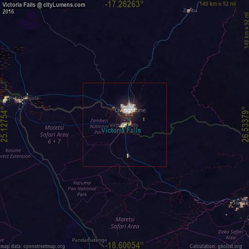
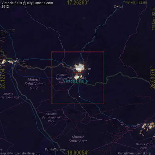
Analysis of Victoria Falls night lights 2016
Square area 10x10 km:
 0%
0%90-99
1.73%80-89
2.6%70-79
1.95%60-69
4.11%50-59
1.73%40-49
3.68%30-39
1.52%20-29
3.03%10-19
24.24%0-9
55.41%Square area 50x50 km:
0.65%90-99
0.67%80-89
0.25%70-79
0.18%60-69
0.47%50-59
0.27%40-49
0.48%30-39
0.31%20-29
0.61%10-19
3.41%0-9
92.7%Clear (daylight) street map image can be seen on geolist.org.
Map coordinates:
17° 15' 45.5" South, 25° 7' 39.1" East
17° 55' 58.3" South, 25° 49' 50.4" East
18° 36' 1.9" South, 26° 32' 1.6" East
Some cities around Victoria Falls sort by population:
• Livingstone, ZM
10.4 km =6.5 mi,  13°
13°
• Choma, ZM
175.2 km =108.9 mi,  44°
44°
• Hwange
85.4 km =53.1 mi,  124°
124°
• Katima Mulilo, NA
172.5 km =107.2 mi,  286°
286°
• Sesheke, ZM
170.2 km =105.8 mi, 287°
• Maamba, ZM
153.3 km =95.3 mi,  65°
65°
• Sinazongwe, ZM
188.3 km =117 mi, 66°
• Kasane, BW
72.4 km =45 mi,  281°
281°
879431 (p: 35,761)
Sources (retrieved 2019-11-25):
» Earth at Night: Flat Maps 2012, 2016