Livingstone night lights from space
Night Light of Livingstone (Southern) from space (Zambia) Src. Average luminocity for 10x10km area is 54.5866% and for 50x50km: 3.2643%.
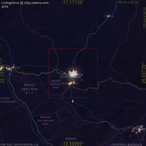
Analysis of Livingstone night lights 2016
Square area 10x10 km:
 17.1%
17.1%90-99
14.94%80-89
3.46%70-79
2.81%60-69
7.36%50-59
3.25%40-49
6.49%30-39
5.19%20-29
11.26%10-19
26.41%0-9
1.73%Square area 50x50 km:
0.65%90-99
0.63%80-89
0.23%70-79
0.18%60-69
0.43%50-59
0.27%40-49
0.48%30-39
0.31%20-29
0.57%10-19
3.41%0-9
92.83%Clear (daylight) street map image can be seen on geolist.org.
Map coordinates:
17° 10' 17" South, 25° 9' 4.1" East
17° 50' 31" South, 25° 51' 15.3" East
18° 30' 35.9" South, 26° 33' 26.6" East
Some cities around Livingstone sort by population:
• Choma
166.3 km =103.3 mi,  46°
46°
• Victoria Falls, ZW
10.4 km =6.5 mi,  193°
193°
• Hwange, ZW
89.5 km =55.6 mi,  130°
130°
• Katima Mulilo, NA
172.4 km =107.1 mi,  282°
282°
• Sesheke
170 km =105.6 mi, 283°
• Maamba
147.1 km =91.4 mi,  68°
68°
• Sinazongwe
182.2 km =113.2 mi, 69°
• Kasane, BW
73.6 km =45.7 mi,  273°
273°
910111 (p: 109,203)
Sources (retrieved 2019-11-25):
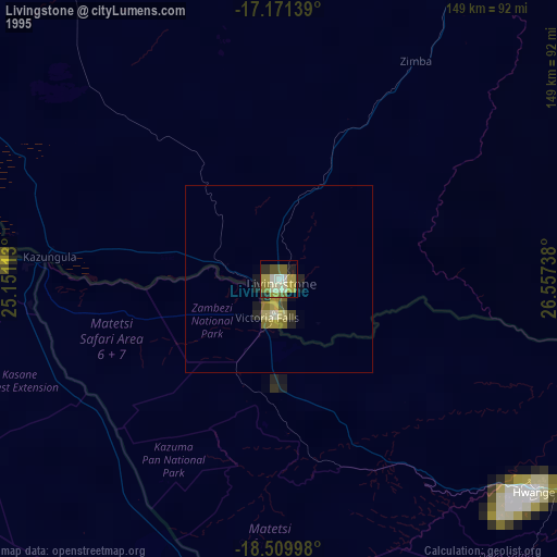
» NASA, Earths city lights 1995
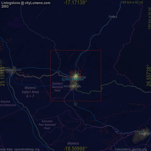
» NASA city lights 2003
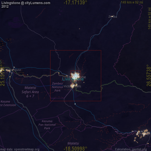
» Earth at Night: Flat Maps 2012, 2016