Empangeni night lights from space
Night Light of Empangeni (KwaZulu-Natal) from space (South Africa) Src. Average luminocity for 10x10km area is 46.7027% and for 50x50km: 10.979%.
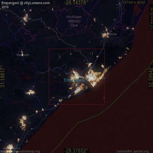
Analysis of Empangeni night lights 2016
Square area 10x10 km:
 5.49%
5.49%90-99
9.09%80-89
4.73%70-79
9.85%60-69
6.82%50-59
5.68%40-49
5.49%30-39
8.71%20-29
17.23%10-19
25.95%0-9
0.95%Square area 50x50 km:
1.19%90-99
1.49%80-89
1.4%70-79
1.38%60-69
1.67%50-59
1.3%40-49
1.34%30-39
2.13%20-29
4.23%10-19
9.74%0-9
74.14%Clear (daylight) street map image can be seen on geolist.org.
Map coordinates:
28° 8' 37.6" South, 31° 11' 24.6" East
28° 45' 43.1" South, 31° 53' 35.8" East
29° 22' 35.5" South, 32° 35' 47.1" East
Some cities around Empangeni sort by population:
• Richards Bay
14.3 km =8.9 mi,  99°
99°
• KwaDukuza
86.1 km =53.5 mi,  222°
222°
• eSikhaleni
12.1 km =7.5 mi,  177°
177°
• Ulundi
66.5 km =41.3 mi,  315°
315°
• Ballito
108.7 km =67.5 mi, 217°
• Eshowe
43.5 km =27 mi,  251°
251°
• Greytown
131 km =81.4 mi,  255°
255°
• Sundumbili
63.5 km =39.5 mi,  229°
229°
1005544 (p: 28,093)
Sources (retrieved 2019-11-25):
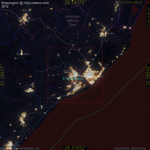
» Earth at Night: Flat Maps 2012, 2016