Richards Bay night lights from space
Night Light of Richards Bay (KwaZulu-Natal) from space (South Africa) Src. Average luminocity for 10x10km area is 68.6989% and for 50x50km: 11.1741%.
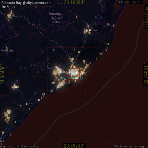
Analysis of Richards Bay night lights 2016
Square area 10x10 km:
 17.05%
90-99
18.18%80-89
12.5%70-79
7.2%60-69
6.06%50-59
7.77%40-49
8.9%30-39
7.01%20-29
12.12%10-19
3.22%0-9
0%Square area 50x50 km:
1.19%90-99
1.49%80-89
1.42%70-79
1.37%60-69
1.69%50-59
1.35%40-49
1.43%30-39
2.21%20-29
4.16%10-19
9.9%0-9
73.8%Clear (daylight) street map image can be seen on geolist.org.
Map coordinates:
28° 9' 53.8" South, 31° 20' 4.4" East
28° 46' 58.8" South, 32° 2' 15.6" East
29° 23' 50.7" South, 32° 44' 26.9" East
Some cities around Richards Bay sort by population:
• KwaDukuza
94.7 km =58.8 mi,  230°
230°
• eSikhaleni
16.6 km =10.3 mi, 233°
• Empangeni
14.3 km =8.9 mi,  279°
279°
• Ulundi
78.5 km =48.8 mi,  309°
309°
• Ballito
116 km =72.1 mi,  223°
223°
• Eshowe
56.5 km =35.1 mi,  258°
258°
• Greytown
144 km =89.5 mi, 257°
• Sundumbili
73.5 km =45.7 mi,  237°
237°
962367 (p: 252,968)
Sources (retrieved 2019-11-25):
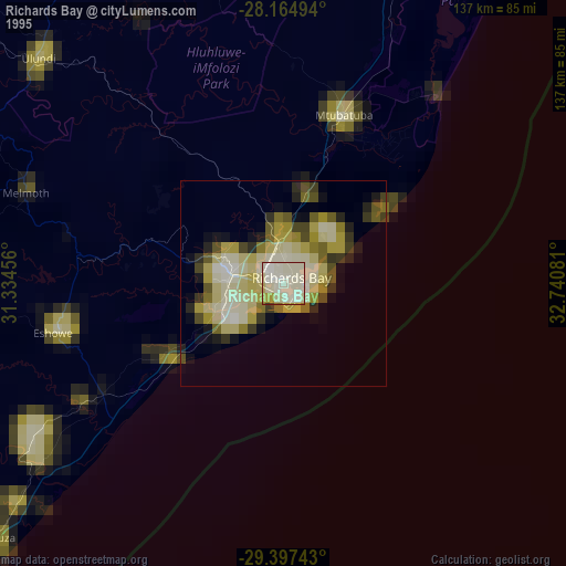
» NASA, Earths city lights 1995
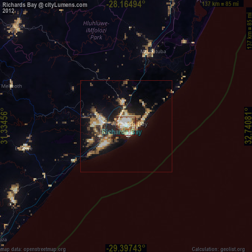
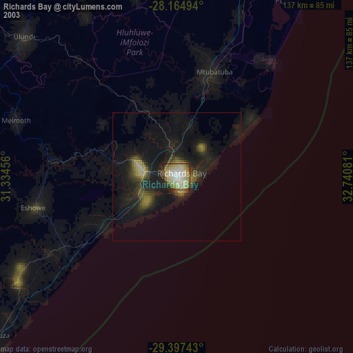
» NASA city lights 2003
» Earth at Night: Flat Maps 2012, 2016