Nkowakowa night lights from space
Night Light of Nkowakowa (Limpopo) from space (South Africa) Src. Average luminocity for 10x10km area is 41.7659% and for 50x50km: 11.8926%.
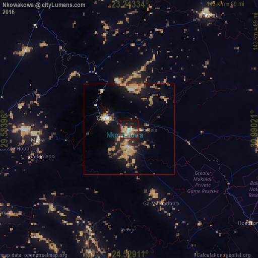
Analysis of Nkowakowa night lights 2016
Square area 10x10 km:
 3.37%
3.37%90-99
4.17%80-89
8.33%70-79
14.09%60-69
1.79%50-59
3.57%40-49
5.56%30-39
7.54%20-29
17.26%10-19
28.77%0-9
5.56%Square area 50x50 km:
0.33%90-99
0.69%80-89
2.23%70-79
3.61%60-69
1.16%50-59
1.05%40-49
2.05%30-39
1.69%20-29
3.68%10-19
10.22%0-9
73.29%Clear (daylight) street map image can be seen on geolist.org.
Map coordinates:
23° 14' 36" South, 29° 35' 2.3" East
23° 53' 16.2" South, 30° 17' 13.5" East
24° 31' 44.8" South, 30° 59' 24.8" East
Some cities around Nkowakowa sort by population:
• Polokwane
83.2 km =51.7 mi,  268°
268°
• Phalaborwa
87 km =54.1 mi,  94°
94°
• Giyani
78.6 km =48.8 mi,  34°
34°
• Lebowakgomo
87.1 km =54.1 mi,  246°
246°
• Duiwelskloof
26.3 km =16.3 mi,  325°
325°
• Tzaneen
14 km =8.7 mi,  295°
295°
• Ga-Kgapane
27.9 km =17.3 mi,  346°
346°
• Mankoeng
47.8 km =29.7 mi, 268°
970341 (p: 30,138)
Sources (retrieved 2019-11-25):
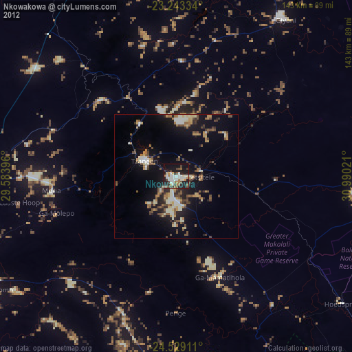
» Earth at Night: Flat Maps 2012, 2016