Schweizer-Reneke night lights from space
Night Light of Schweizer-Reneke (North-West) from space (South Africa) Src. Average luminocity for 10x10km area is 16.7386% and for 50x50km: 0.8953%.
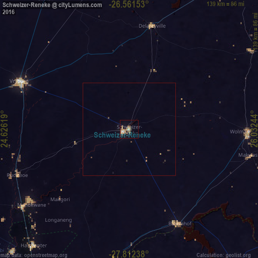
Analysis of Schweizer-Reneke night lights 2016
Square area 10x10 km:
 0.19%
0.19%90-99
2.08%80-89
0.19%70-79
6.63%60-69
2.65%50-59
3.03%40-49
4.17%30-39
1.14%20-29
2.65%10-19
3.41%0-9
73.86%Square area 50x50 km:
0.01%90-99
0.08%80-89
0.02%70-79
0.28%60-69
0.14%50-59
0.15%40-49
0.29%30-39
0.07%20-29
0.17%10-19
0.2%0-9
98.59%Clear (daylight) street map image can be seen on geolist.org.
Map coordinates:
26° 33' 41.5" South, 24° 37' 34.3" East
27° 11' 19.4" South, 25° 19' 45.5" East
27° 48' 44.6" South, 26° 1' 56.8" East
Some cities around Schweizer-Reneke sort by population:
• Vryburg
64.9 km =40.3 mi,  293°
293°
• Wolmaransstad
64.7 km =40.2 mi,  90°
90°
• Pampierstad
91.5 km =56.9 mi,  223°
223°
• Warrenton
113.3 km =70.4 mi,  204°
204°
• Christiana
82.3 km =51.1 mi,  191°
191°
• Bloemhof
57.8 km =35.9 mi,  151°
151°
• Jan Kempdorp
95.3 km =59.2 mi,  211°
211°
• Hoopstad
91.6 km =56.9 mi,  141°
141°
956907 (p: 70,214)
Sources (retrieved 2019-11-25):
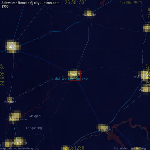
» NASA, Earths city lights 1995
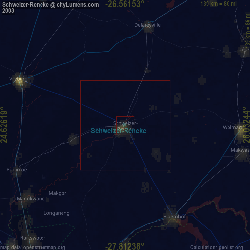
» NASA city lights 2003
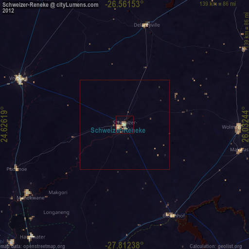
» Earth at Night: Flat Maps 2012, 2016