Warrenton night lights from space
Night Light of Warrenton (Northern Cape) from space (South Africa) Src. Average luminocity for 10x10km area is 10.5852% and for 50x50km: 1.1865%.
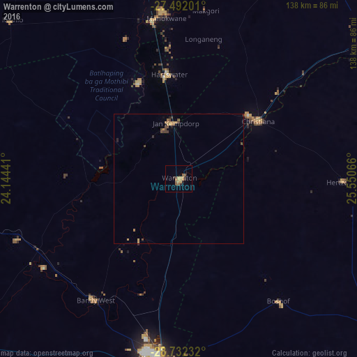
Analysis of Warrenton night lights 2016
Square area 10x10 km:
 0%
0%90-99
0%80-89
0.57%70-79
5.68%60-69
1.14%50-59
3.22%40-49
0%30-39
2.08%20-29
2.46%10-19
0%0-9
84.85%Square area 50x50 km:
0%90-99
0%80-89
0.08%70-79
0.55%60-69
0.14%50-59
0.27%40-49
0.3%30-39
0.15%20-29
0.22%10-19
0.07%0-9
98.23%Clear (daylight) street map image can be seen on geolist.org.
Map coordinates:
27° 29' 31.2" South, 24° 8' 39.9" East
28° 6' 50.3" South, 24° 50' 51.1" East
28° 43' 56.4" South, 25° 33' 2.4" East
Some cities around Warrenton sort by population:
• Kimberley
69.3 km =43.1 mi,  186°
186°
• Pampierstad
40 km =24.9 mi,  336°
336°
• Christiana
38 km =23.6 mi,  54°
54°
• Bloemhof
90.9 km =56.5 mi,  55°
55°
• Jan Kempdorp
21.4 km =13.3 mi,  355°
355°
• Hoopstad
108.8 km =67.6 mi,  73°
73°
• Barkly West
56.7 km =35.2 mi,  214°
214°
• Ritchie
105.5 km =65.6 mi, 193°
941931 (p: 17,946)
Sources (retrieved 2019-11-25):
» Earth at Night: Flat Maps 2012, 2016