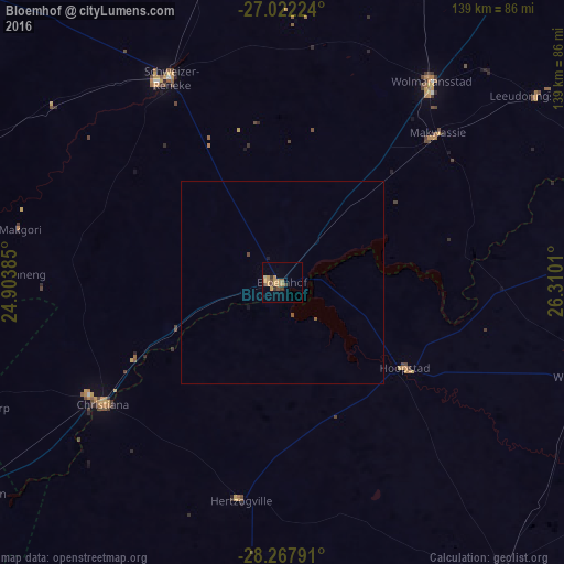
Bloemhof night lights from space
Night Light of Bloemhof (North-West) from space (South Africa) Src. Average luminocity for 10x10km area is 12.2143% and for 50x50km: 0.5699%.
Analysis of Bloemhof night lights 2016
Square area 10x10 km:
 0%
0%90-99
0%80-89
0.79%70-79
8.33%60-69
1.19%50-59
0%40-49
3.37%30-39
2.78%20-29
0.2%10-19
0%0-9
83.33%Square area 50x50 km:
0%90-99
0%80-89
0.03%70-79
0.32%60-69
0.05%50-59
0.06%40-49
0.16%30-39
0.11%20-29
0.01%10-19
0.06%0-9
99.2%Clear (daylight) street map image can be seen on geolist.org.
Map coordinates:
27° 1' 20.1" South, 24° 54' 13.9" East
27° 38' 48.7" South, 25° 36' 25.1" East
28° 16' 4.5" South, 26° 18' 36.4" East
Some cities around Bloemhof sort by population:
• Schweizer-Reneke
57.8 km =35.9 mi,  331°
331°
• Wolmaransstad
62.3 km =38.7 mi,  36°
36°
• Wesselsbron
78.2 km =48.6 mi,  107°
107°
• Pampierstad
91.8 km =57 mi,  260°
260°
• Warrenton
90.9 km =56.5 mi,  235°
235°
• Christiana
53 km =32.9 mi, 235°
• Jan Kempdorp
82.3 km =51.1 mi,  248°
248°
• Hoopstad
36.1 km =22.4 mi,  124°
124°
1018673 (p: 17,122)
Sources (retrieved 2019-11-25):
» Earth at Night: Flat Maps 2012, 2016