Hoopstad night lights from space
Night Light of Hoopstad (Orange Free State) from space (South Africa) Src. Average luminocity for 10x10km area is 4.892% and for 50x50km: 0.242%.
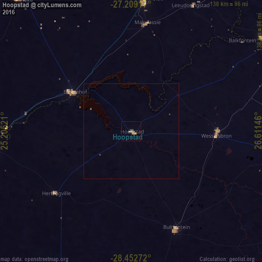
Analysis of Hoopstad night lights 2016
Square area 10x10 km:
 0%
0%90-99
0%80-89
0%70-79
3.22%60-69
1.33%50-59
0%40-49
1.33%30-39
0.95%20-29
0%10-19
0%0-9
93.18%Square area 50x50 km:
0%90-99
0%80-89
0%70-79
0.13%60-69
0.05%50-59
0.03%40-49
0.05%30-39
0.1%20-29
0%10-19
0%0-9
99.64%Clear (daylight) street map image can be seen on geolist.org.
Map coordinates:
27° 12' 33" South, 25° 12' 18.8" East
27° 49' 57.8" South, 25° 54' 30" East
28° 27' 9.8" South, 26° 36' 41.3" East
Some cities around Hoopstad sort by population:
• Welkom
82.8 km =51.4 mi,  101°
101°
• Kutloanong
82.8 km =51.4 mi,  90°
90°
• Bothaville
85.5 km =53.1 mi,  54°
54°
• Wolmaransstad
71 km =44.1 mi,  5°
5°
• Wesselsbron
45 km =28 mi, 93°
• Allanridge
72.9 km =45.3 mi,  83°
83°
• Christiana
74 km =46 mi,  262°
262°
• Bloemhof
36.1 km =22.4 mi,  304°
304°
995573 (p: 12,663)
Sources (retrieved 2019-11-25):
» Earth at Night: Flat Maps 2012, 2016