Pampierstad night lights from space
Night Light of Pampierstad (Northern Cape) from space (South Africa) Src. Average luminocity for 10x10km area is 9.5952% and for 50x50km: 2.4319%.
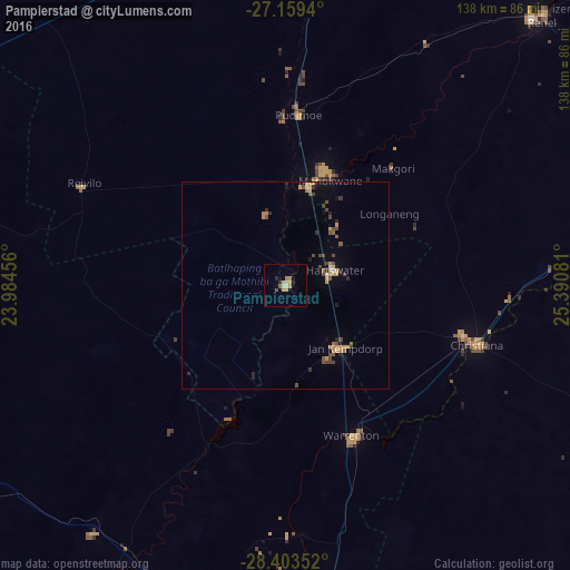
Analysis of Pampierstad night lights 2016
Square area 10x10 km:
 0%
0%90-99
0.79%80-89
2.98%70-79
3.77%60-69
0.4%50-59
0.79%40-49
0.79%30-39
0%20-29
1.98%10-19
0.4%0-9
88.1%Square area 50x50 km:
0.02%90-99
0.12%80-89
0.32%70-79
0.74%60-69
0.21%50-59
0.29%40-49
0.81%30-39
0.18%20-29
0.5%10-19
0.53%0-9
96.28%Clear (daylight) street map image can be seen on geolist.org.
Map coordinates:
27° 9' 33.8" South, 23° 59' 4.4" East
27° 46' 59.7" South, 24° 41' 15.6" East
28° 24' 12.7" South, 25° 23' 26.9" East
Some cities around Pampierstad sort by population:
• Kimberley
105.8 km =65.7 mi,  176°
176°
• Schweizer-Reneke
91.5 km =56.9 mi,  43°
43°
• Vryburg
92 km =57.2 mi,  2°
2°
• Warrenton
40 km =24.9 mi,  156°
156°
• Christiana
48.8 km =30.3 mi,  107°
107°
• Bloemhof
91.8 km =57 mi,  80°
80°
• Jan Kempdorp
20.9 km =13 mi,  137°
137°
• Barkly West
85.2 km =52.9 mi,  191°
191°
966380 (p: 21,800)
Sources (retrieved 2019-11-25):
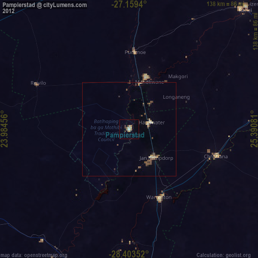
» Earth at Night: Flat Maps 2012, 2016