Wolmaransstad night lights from space
Night Light of Wolmaransstad (North-West) from space (South Africa) Src. Average luminocity for 10x10km area is 15.0966% and for 50x50km: 1.0459%.
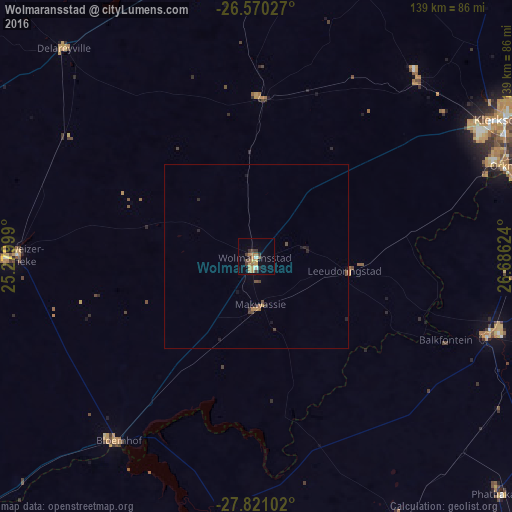
Analysis of Wolmaransstad night lights 2016
Square area 10x10 km:
 0.57%
0.57%90-99
0.95%80-89
1.14%70-79
4.73%60-69
3.98%50-59
1.52%40-49
2.46%30-39
4.36%20-29
0.76%10-19
0.57%0-9
78.98%Square area 50x50 km:
0.02%90-99
0.04%80-89
0.05%70-79
0.24%60-69
0.23%50-59
0.13%40-49
0.33%30-39
0.2%20-29
0.24%10-19
0.22%0-9
98.29%Clear (daylight) street map image can be seen on geolist.org.
Map coordinates:
26° 34' 13" South, 25° 16' 48" East
27° 11' 50.6" South, 25° 58' 59.2" East
27° 49' 15.7" South, 26° 41' 10.5" East
Some cities around Wolmaransstad sort by population:
• Klerksdorp
77.8 km =48.3 mi,  60°
60°
• Orkney
72.4 km =45 mi,  70°
70°
• Stilfontein
87.1 km =54.1 mi, 63°
• Bothaville
66.1 km =41.1 mi,  108°
108°
• Schweizer-Reneke
64.7 km =40.2 mi,  270°
270°
• Wesselsbron
82.3 km =51.1 mi,  152°
152°
• Bloemhof
62.3 km =38.7 mi,  216°
216°
• Hoopstad
71 km =44.1 mi,  185°
185°
938457 (p: 49,366)
Sources (retrieved 2019-11-25):
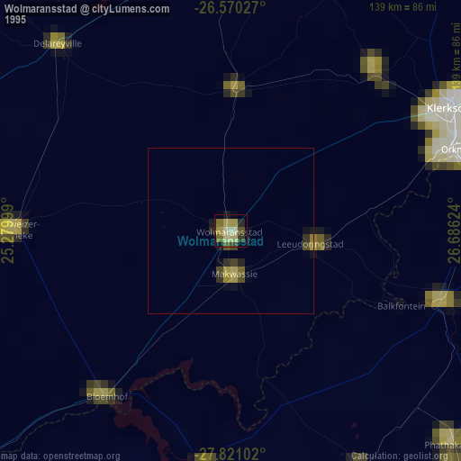
» NASA, Earths city lights 1995
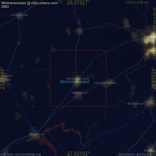
» NASA city lights 2003
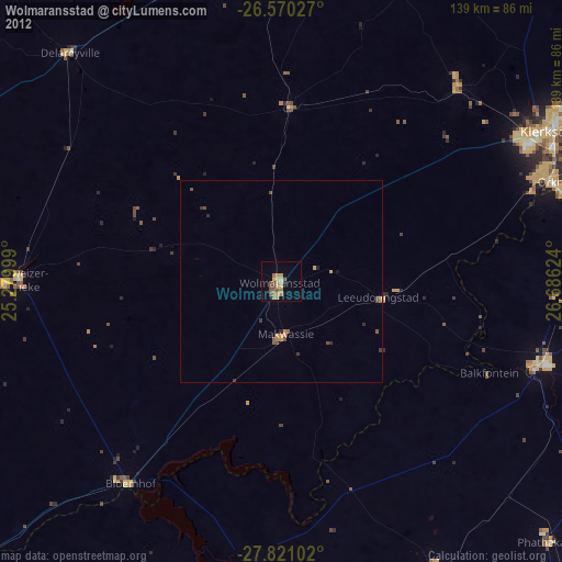
» Earth at Night: Flat Maps 2012, 2016