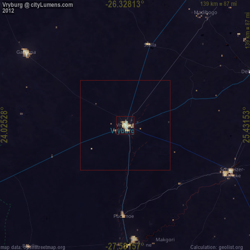
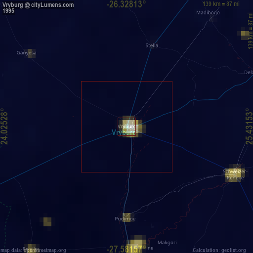
Vryburg night lights from space
Night Light of Vryburg (North-West) from space (South Africa) Src. Average luminocity for 10x10km area is 30.5298% and for 50x50km: 1.4976%.
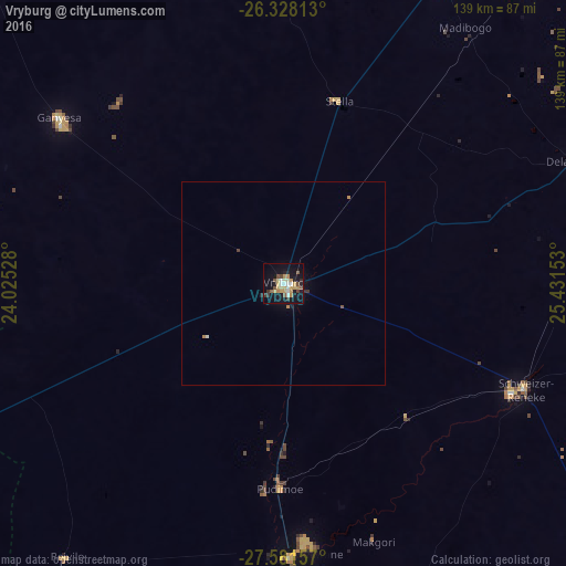

Analysis of Vryburg night lights 2016
Square area 10x10 km:
 3.57%
3.57%90-99
3.37%80-89
4.17%70-79
9.72%60-69
1.39%50-59
3.57%40-49
4.37%30-39
3.17%20-29
4.37%10-19
32.14%0-9
30.16%Square area 50x50 km:
0.16%90-99
0.14%80-89
0.16%70-79
0.43%60-69
0.09%50-59
0.16%40-49
0.21%30-39
0.18%20-29
0.2%10-19
1.4%0-9
96.87%Clear (daylight) street map image can be seen on geolist.org.
Map coordinates:
26° 19' 41.3" South, 24° 1' 31" East
26° 57' 23.7" South, 24° 43' 42.2" East
27° 34' 53.7" South, 25° 25' 53.5" East
Some cities around Vryburg sort by population:
• Schweizer-Reneke
64.9 km =40.3 mi,  113°
113°
• Wolmaransstad
127.1 km =79 mi,  102°
102°
• Pampierstad
92 km =57.2 mi,  182°
182°
• Warrenton
129.2 km =80.3 mi,  174°
174°
• Christiana
114.7 km =71.3 mi,  158°
158°
• Bloemhof
115.9 km =72 mi,  131°
131°
• Jan Kempdorp
107.9 km =67 mi, 174°
• Kuruman
139.5 km =86.7 mi,  246°
246°
942511 (p: 49,588)
Sources (retrieved 2019-11-25):
» NASA, Earths city lights 1995
» NASA city lights 2003
» Earth at Night: Flat Maps 2012, 2016