Hardys Memories of Africa night lights from space
Night Light of Hardys Memories of Africa (Western Cape) from space (South Africa) Src. Average luminocity for 10x10km area is 2.1661% and for 50x50km: 0.4233%.
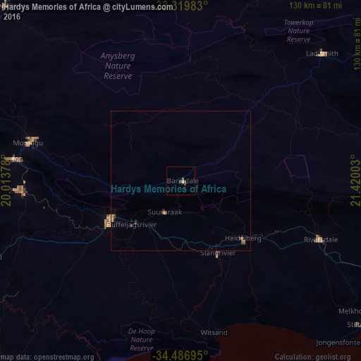
Analysis of Hardys Memories of Africa night lights 2016
Square area 10x10 km:
 0%
0%90-99
0%80-89
0.7%70-79
0%60-69
0%50-59
1.4%40-49
1.4%30-39
0%20-29
0%10-19
0%0-9
96.5%Square area 50x50 km:
0%90-99
0%80-89
0.06%70-79
0.08%60-69
0.07%50-59
0.14%40-49
0.11%30-39
0.1%20-29
0.09%10-19
0.04%0-9
99.32%Clear (daylight) street map image can be seen on geolist.org.
Map coordinates:
33° 19' 11.4" South, 20° 0' 49.6" East
33° 54' 19.4" South, 20° 43' 0.8" East
34° 29' 13" South, 21° 25' 12.1" East
Some cities around Hardys Memories of Africa sort by population:
• Worcester
120.7 km =75 mi,  283°
283°
• Robertson
77.6 km =48.2 mi, 278°
• Riversdale
54 km =33.6 mi,  112°
112°
• Montagu
56.6 km =35.2 mi, 283°
• Bredasdorp
93.4 km =58 mi,  221°
221°
• Swellendam
28.5 km =17.7 mi,  242°
242°
• Ladismith
68.5 km =42.6 mi,  48°
48°
• Albertina
86.2 km =53.6 mi, 112°
10295373 (p: 7,500)
Sources (retrieved 2019-11-25):
» Earth at Night: Flat Maps 2012, 2016