Montagu night lights from space
Night Light of Montagu (Western Cape) from space (South Africa) Src. Average luminocity for 10x10km area is 9.5542% and for 50x50km: 1.7085%.
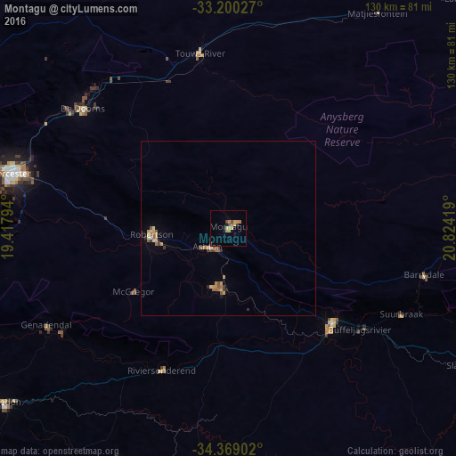
Analysis of Montagu night lights 2016
Square area 10x10 km:
 0%
0%90-99
0%80-89
1.75%70-79
3.85%60-69
2.1%50-59
0%40-49
1.75%30-39
1.4%20-29
0%10-19
1.4%0-9
87.76%Square area 50x50 km:
0.03%90-99
0.07%80-89
0.28%70-79
0.47%60-69
0.33%50-59
0.32%40-49
0.24%30-39
0.24%20-29
0.14%10-19
0.14%0-9
97.75%Clear (daylight) street map image can be seen on geolist.org.
Map coordinates:
33° 12' 1" South, 19° 25' 4.6" East
33° 47' 11.9" South, 20° 7' 15.8" East
34° 22' 8.5" South, 20° 49' 27.1" East
Some cities around Montagu sort by population:
• Paarl
106.1 km =65.9 mi,  273°
273°
• Worcester
64.1 km =39.8 mi,  284°
284°
• Wellington
103.9 km =64.6 mi, 279°
• Ceres
88.3 km =54.9 mi,  301°
301°
• Robertson
21.9 km =13.6 mi, 265°
• Bredasdorp
83.2 km =51.7 mi,  185°
185°
• Swellendam
39.5 km =24.5 mi,  131°
131°
• Hardys Memories of Africa
56.6 km =35.2 mi,  103°
103°
974611 (p: 15,176)
Sources (retrieved 2019-11-25):
» Earth at Night: Flat Maps 2012, 2016