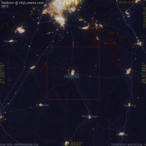
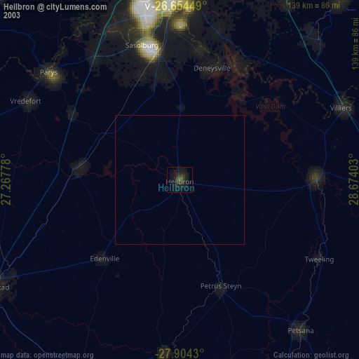
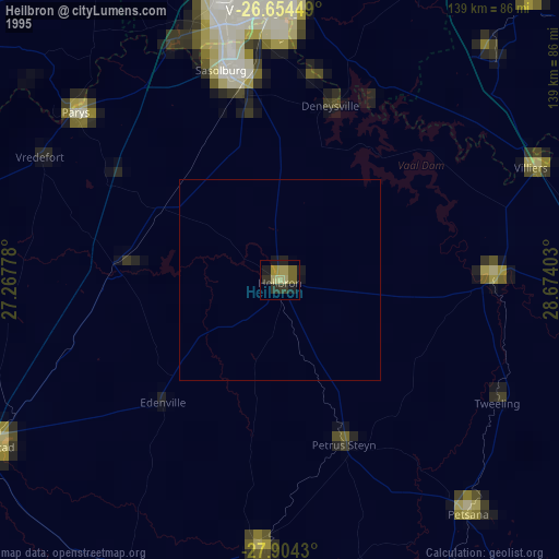
Heilbron night lights from space
Night Light of Heilbron (Orange Free State) from space (South Africa) Src. Average luminocity for 10x10km area is 13.0095% and for 50x50km: 0.6117%.

Analysis of Heilbron night lights 2016
Square area 10x10 km:
 0%
0%90-99
0%80-89
1.52%70-79
4.92%60-69
5.68%50-59
0%40-49
2.84%30-39
0.95%20-29
0%10-19
1.14%0-9
82.95%Square area 50x50 km:
0%90-99
0%80-89
0.06%70-79
0.23%60-69
0.23%50-59
0%40-49
0.17%30-39
0.04%20-29
0.03%10-19
0.08%0-9
99.17%Clear (daylight) street map image can be seen on geolist.org.
Map coordinates:
26° 39' 16.2" South, 27° 16' 4" East
27° 16' 52.1" South, 27° 58' 15.2" East
27° 54' 15.5" South, 28° 40' 26.5" East
Some cities around Heilbron sort by population:
• Vereeniging
67.8 km =42.1 mi,  356°
356°
• Vanderbijlpark
64.7 km =40.2 mi,  348°
348°
• Sasolburg
54.2 km =33.7 mi,  343°
343°
• Parys
66 km =41 mi,  309°
309°
• Deneysville
45.2 km =28.1 mi,  16°
16°
• Lindley
66.7 km =41.4 mi,  184°
184°
• Koppies
39.5 km =24.5 mi,  276°
276°
• Vredefort
67.2 km =41.8 mi,  296°
296°
997140 (p: 55,196)
Sources (retrieved 2019-11-25):
» NASA, Earths city lights 1995
» NASA city lights 2003
» Earth at Night: Flat Maps 2012, 2016