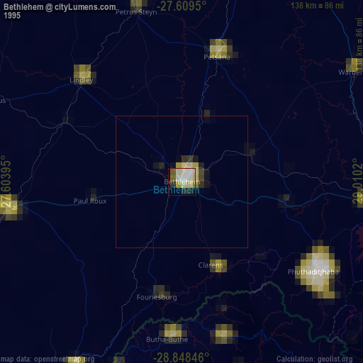
Bethlehem night lights from space
Night Light of Bethlehem (Orange Free State) from space (South Africa) Src. Average luminocity for 10x10km area is 42.375% and for 50x50km: 2.0545%.
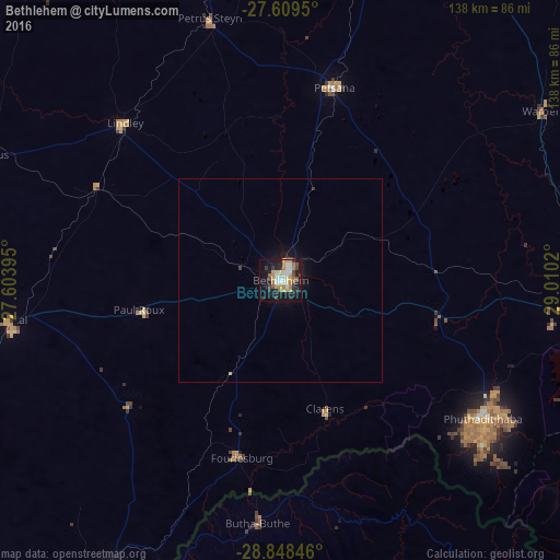
Analysis of Bethlehem night lights 2016
Square area 10x10 km:
 6.75%
6.75%90-99
8.13%80-89
3.57%70-79
8.93%60-69
7.94%50-59
1.59%40-49
5.56%30-39
6.15%20-29
9.72%10-19
30.95%0-9
10.71%Square area 50x50 km:
0.26%90-99
0.31%80-89
0.14%70-79
0.42%60-69
0.31%50-59
0.06%40-49
0.24%30-39
0.3%20-29
0.4%10-19
2.02%0-9
95.54%Clear (daylight) street map image can be seen on geolist.org.
Map coordinates:
27° 36' 34.2" South, 27° 36' 14.2" East
28° 13' 50.8" South, 28° 18' 25.5" East
28° 50' 54.5" South, 29° 0' 36.7" East
Some cities around Bethlehem sort by population:
• Phuthaditjhaba
59.5 km =37 mi,  123°
123°
• Leribe, LS
75.7 km =47 mi,  199°
199°
• Senekal
67.9 km =42.2 mi,  261°
261°
• Harrismith
80.7 km =50.1 mi,  93°
93°
• Maputsoe, LS
83.1 km =51.6 mi,  208°
208°
• Reitz
49.2 km =30.6 mi,  13°
13°
• Butha-Buthe, LS
59.8 km =37.2 mi,  185°
185°
• Lindley
55 km =34.2 mi,  315°
315°
1019704 (p: 83,654)
Sources (retrieved 2019-11-25):
» NASA, Earths city lights 1995
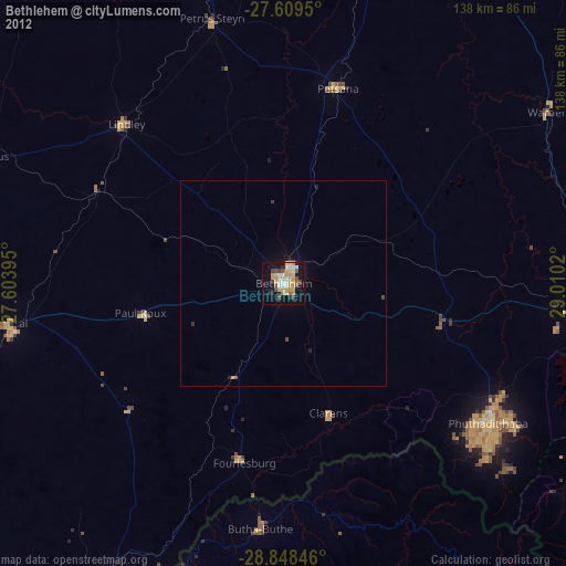
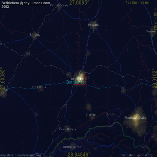
» NASA city lights 2003
» Earth at Night: Flat Maps 2012, 2016