Margate night lights from space
Night Light of Margate (KwaZulu-Natal) from space (South Africa) Src. Average luminocity for 10x10km area is 18.1731% and for 50x50km: 4.3293%.
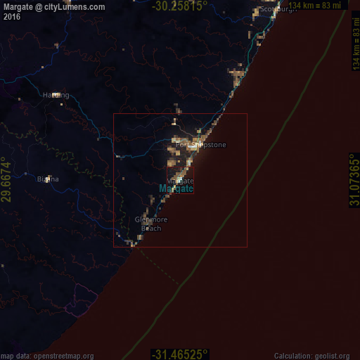
Analysis of Margate night lights 2016
Square area 10x10 km:
 0.87%
0.87%90-99
0.52%80-89
1.92%70-79
1.92%60-69
2.27%50-59
4.9%40-49
7.87%30-39
0.7%20-29
2.1%10-19
18.53%0-9
58.39%Square area 50x50 km:
0.12%90-99
0.18%80-89
0.41%70-79
0.41%60-69
0.6%50-59
1.18%40-49
1.4%30-39
0.77%20-29
1.08%10-19
4.39%0-9
89.45%Clear (daylight) street map image can be seen on geolist.org.
Map coordinates:
30° 15' 29.3" South, 29° 40' 2.6" East
30° 51' 49" South, 30° 22' 13.9" East
31° 27' 54.9" South, 31° 4' 25.1" East
Some cities around Margate sort by population:
• Mpumalanga
119.6 km =74.3 mi,  12°
12°
• Port Shepstone
15.8 km =9.8 mi,  30°
30°
• Richmond
110.7 km =68.8 mi,  355°
355°
• Kokstad
97.1 km =60.3 mi,  291°
291°
• Scottburgh
73.9 km =45.9 mi, 29°
• eMkhomazi
83.7 km =52 mi, 29°
• Berea
127.4 km =79.2 mi, 27°
• Port Saint John’s
115.3 km =71.6 mi,  222°
222°
978895 (p: 34,407)
Sources (retrieved 2019-11-25):
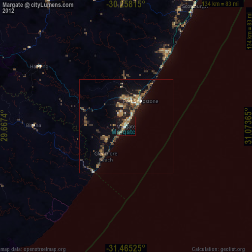
» Earth at Night: Flat Maps 2012, 2016