Lebowakgomo night lights from space
Night Light of Lebowakgomo (Limpopo) from space (South Africa) Src. Average luminocity for 10x10km area is 8.3636% and for 50x50km: 6.8151%.
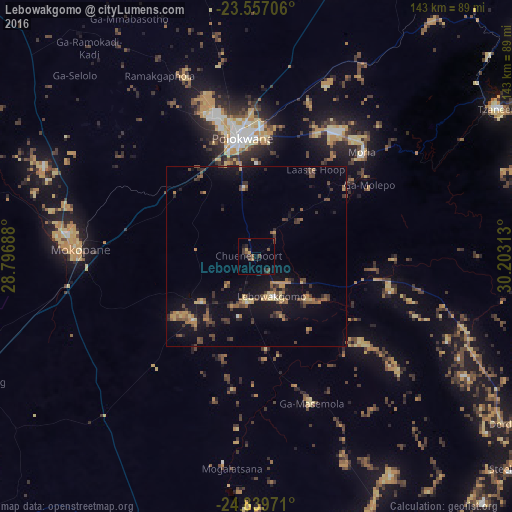
Analysis of Lebowakgomo night lights 2016
Square area 10x10 km:
 0%
0%90-99
0%80-89
0.19%70-79
1.52%60-69
0.57%50-59
2.46%40-49
3.79%30-39
2.65%20-29
3.6%10-19
1.89%0-9
83.33%Square area 50x50 km:
0.06%90-99
0.18%80-89
0.82%70-79
1.16%60-69
1.03%50-59
1.12%40-49
1.91%30-39
1.55%20-29
1.38%10-19
6.29%0-9
84.49%Clear (daylight) street map image can be seen on geolist.org.
Map coordinates:
23° 33' 25.4" South, 28° 47' 48.8" East
24° 12' 0" South, 29° 30' 0" East
24° 50' 23" South, 30° 12' 11.3" East
Some cities around Lebowakgomo sort by population:
• Polokwane
33 km =20.5 mi,  354°
354°
• Mokopane
49.7 km =30.9 mi,  270°
270°
• Nkowakowa
87.1 km =54.1 mi,  66°
66°
• Duiwelskloof
86 km =53.4 mi,  49°
49°
• Tzaneen
78.8 km =49 mi,  58°
58°
• Ga-Kgapane
96.1 km =59.7 mi, 49°
• Mankoeng
46.3 km =28.8 mi,  43°
43°
• Bochum
108 km =67.1 mi,  340°
340°
984087 (p: 33,308)
Sources (retrieved 2019-11-25):
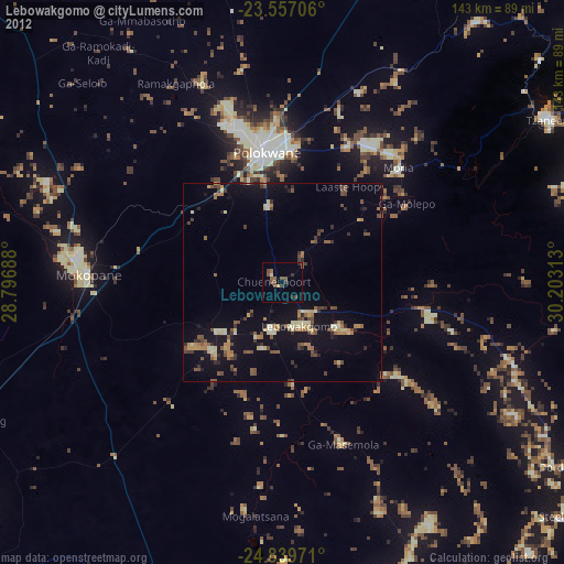
» Earth at Night: Flat Maps 2012, 2016