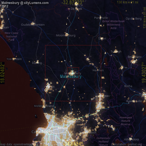
Malmesbury night lights from space
Night Light of Malmesbury (Western Cape) from space (South Africa) Src. Average luminocity for 10x10km area is 16.764% and for 50x50km: 4.3196%.
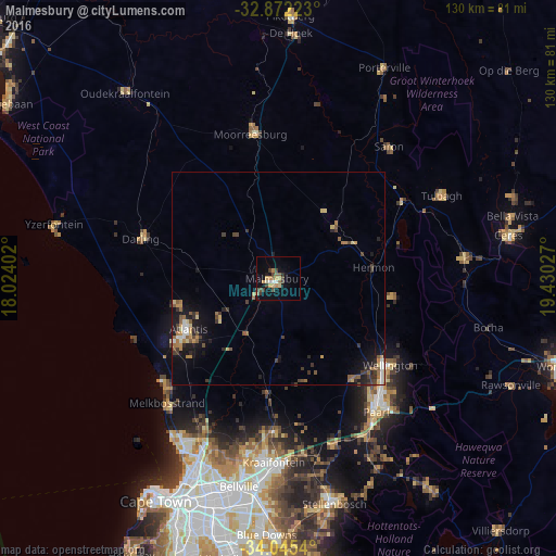
Analysis of Malmesbury night lights 2016
Square area 10x10 km:
 1.22%
1.22%90-99
0.87%80-89
2.45%70-79
4.37%60-69
1.22%50-59
2.8%40-49
3.32%30-39
3.85%20-29
0.87%10-19
8.57%0-9
70.45%Square area 50x50 km:
0.31%90-99
0.33%80-89
0.61%70-79
0.67%60-69
0.58%50-59
0.87%40-49
0.63%30-39
1.05%20-29
0.69%10-19
3.05%0-9
91.21%Clear (daylight) street map image can be seen on geolist.org.
Map coordinates:
32° 52' 20" South, 18° 1' 26.5" East
33° 27' 38.9" South, 18° 43' 37.7" East
34° 2' 43.4" South, 19° 25' 49" East
Some cities around Malmesbury sort by population:
• Cape Town
58.9 km =36.6 mi,  208°
208°
• Paarl
38.1 km =23.7 mi,  142°
142°
• Stellenbosch
54.2 km =33.7 mi,  166°
166°
• Atlantis
25.5 km =15.8 mi,  242°
242°
• Kraaifontein
43.1 km =26.8 mi,  181°
181°
• Wellington
33 km =20.5 mi,  127°
127°
• Ceres
55.1 km =34.2 mi,  79°
79°
• Rosebank
59.8 km =37.2 mi,  203°
203°
3364346 (p: 34,991)
Sources (retrieved 2019-11-25):
» Earth at Night: Flat Maps 2012, 2016