Cape Town night lights from space
Night Light of Cape Town (Western Cape) from space (South Africa) Src. Average luminocity for 10x10km area is 66.1399% and for 50x50km: 32.9293%.
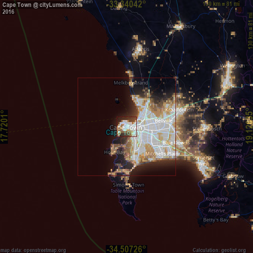
Analysis of Cape Town night lights 2016
Square area 10x10 km:
 20.8%
20.8%90-99
18.01%80-89
5.07%70-79
5.42%60-69
5.94%50-59
10.49%40-49
6.47%30-39
9.97%20-29
10.14%10-19
7.17%0-9
0.52%Square area 50x50 km:
10.68%90-99
7.94%80-89
3.78%70-79
3.87%60-69
3.06%50-59
3.32%40-49
2.15%30-39
2.36%20-29
4.94%10-19
8.25%0-9
49.65%Clear (daylight) street map image can be seen on geolist.org.
Map coordinates:
33° 20' 25.5" South, 17° 43' 12.4" East
33° 55' 33" South, 18° 25' 23.6" East
34° 30' 26.1" South, 19° 7' 34.9" East
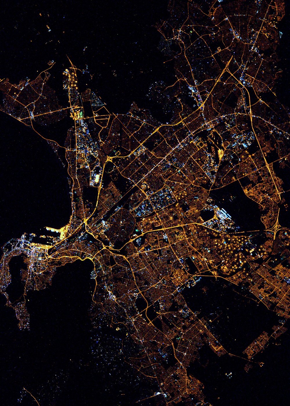
Fantastic image of Cape Town from space taken by astronauts [src2], but I don't have information about it's orientation, scale or angle. If necessary, it was rotated manually, so North points approximately to upper direction. Click to zoom in:
Some cities around Cape Town sort by population:
• Kraaifontein
28.5 km =17.7 mi,  72°
72°
• Retreat
15.2 km =9.4 mi,  161°
161°
• Lansdowne
9.7 km =6 mi,  134°
134°
• Rondebosch
6.4 km =4 mi, 130°
• Claremont
7.2 km =4.5 mi,  147°
147°
• Rosebank
5.7 km =3.5 mi, 125°
• Constantia
11.7 km =7.3 mi,  182°
182°
• Newlands
6.3 km =3.9 mi, 158°
3369157 (p: 3,433,441)
Sources (retrieved 2019-11-25):
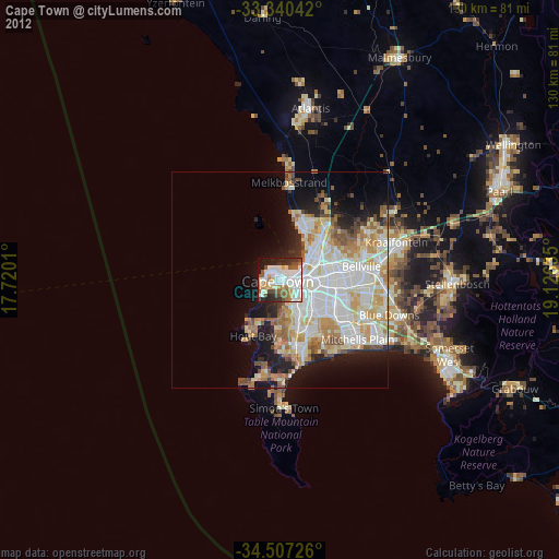
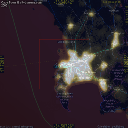
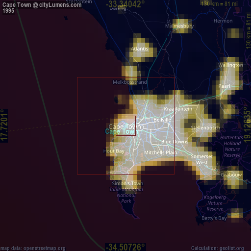
» NASA, Earths city lights 1995
» NASA city lights 2003
» Earth at Night: Flat Maps 2012, 2016
Src.2: Tim Kopra, Twitter/@astro_tim, 2016-04-23