Atlantis night lights from space
Night Light of Atlantis (Western Cape) from space (South Africa) Src. Average luminocity for 10x10km area is 34.1429% and for 50x50km: 5.5203%.
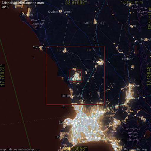
Analysis of Atlantis night lights 2016
Square area 10x10 km:
 4.21%
4.21%90-99
4.58%80-89
4.76%70-79
5.31%60-69
5.31%50-59
6.96%40-49
3.11%30-39
3.66%20-29
4.76%10-19
37.91%0-9
19.41%Square area 50x50 km:
0.25%90-99
0.24%80-89
0.65%70-79
1.01%60-69
0.54%50-59
0.93%40-49
1.08%30-39
1.36%20-29
1.26%10-19
5.47%0-9
87.22%Clear (daylight) street map image can be seen on geolist.org.
Map coordinates:
32° 58' 43.8" South, 17° 46' 48.8" East
33° 34' 0" South, 18° 29' 0.1" East
34° 9' 2" South, 19° 11' 11.3" East
Some cities around Atlantis sort by population:
• Cape Town
40.3 km =25 mi,  187°
187°
• Kraaifontein
38 km =23.6 mi,  145°
145°
• Malmesbury
25.5 km =15.8 mi,  62°
62°
• Lansdowne
46.8 km =29.1 mi,  178°
178°
• Rondebosch
44.1 km =27.4 mi, 180°
• Claremont
46 km =28.6 mi, 182°
• Rosebank
43.2 km =26.8 mi, 181°
• Newlands
45.9 km =28.5 mi, 184°
3370352 (p: 60,266)
Sources (retrieved 2019-11-25):
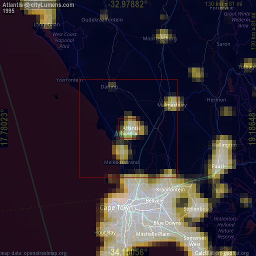
» NASA, Earths city lights 1995
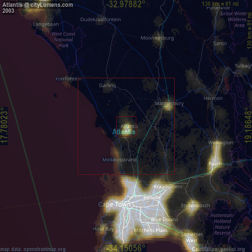
» NASA city lights 2003
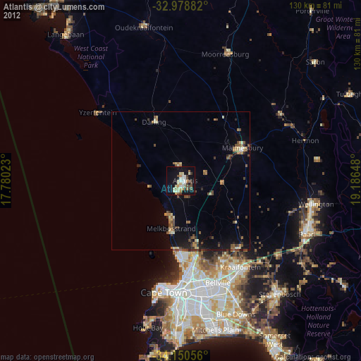
» Earth at Night: Flat Maps 2012, 2016