Wellington night lights from space
Night Light of Wellington (Western Cape) from space (South Africa) Src. Average luminocity for 10x10km area is 30.9469% and for 50x50km: 7.4563%.
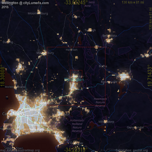
Analysis of Wellington night lights 2016
Square area 10x10 km:
 3.11%
3.11%90-99
3.85%80-89
6.41%70-79
2.75%60-69
4.58%50-59
4.03%40-49
3.3%30-39
7.88%20-29
9.16%10-19
24.54%0-9
30.4%Square area 50x50 km:
0.4%90-99
0.66%80-89
0.96%70-79
1.03%60-69
0.85%50-59
1.41%40-49
1.53%30-39
1.93%20-29
2.55%10-19
5.97%0-9
82.72%Clear (daylight) street map image can be seen on geolist.org.
Map coordinates:
33° 3' 8.8" South, 18° 18' 29.1" East
33° 38' 23.3" South, 19° 0' 40.3" East
34° 13' 23.5" South, 19° 42' 51.6" East
Some cities around Wellington sort by population:
• Paarl
11 km =6.8 mi,  197°
197°
• Worcester
40.5 km =25.2 mi,  91°
91°
• Stellenbosch
35.4 km =22 mi, 202°
• Atlantis
49.6 km =30.8 mi,  279°
279°
• Kraaifontein
35.7 km =22.2 mi,  229°
229°
• Ceres
41 km =25.5 mi,  42°
42°
• Malmesbury
33 km =20.5 mi,  307°
307°
• Grabouw
56.9 km =35.4 mi,  179°
179°
3359510 (p: 55,543)
Sources (retrieved 2019-11-25):
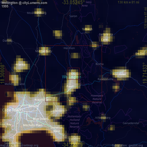
» NASA, Earths city lights 1995
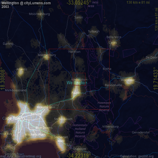
» NASA city lights 2003
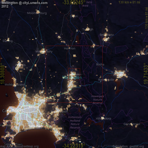
» Earth at Night: Flat Maps 2012, 2016