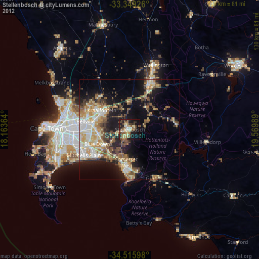
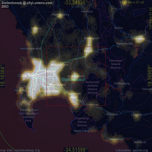
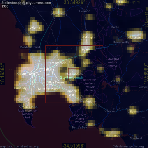
Stellenbosch night lights from space
Night Light of Stellenbosch (Western Cape) from space (South Africa) Src. Average luminocity for 10x10km area is 42.6206% and for 50x50km: 29.2427%.

Analysis of Stellenbosch night lights 2016
Square area 10x10 km:
 3.85%
3.85%90-99
3.67%80-89
9.97%70-79
6.99%60-69
5.59%50-59
7.52%40-49
7.34%30-39
11.01%20-29
13.81%10-19
25%0-9
5.24%Square area 50x50 km:
5.33%90-99
5.09%80-89
3.8%70-79
4.12%60-69
3.47%50-59
4.67%40-49
4.69%30-39
4.62%20-29
7.14%10-19
10.61%0-9
46.46%Clear (daylight) street map image can be seen on geolist.org.
Map coordinates:
33° 20' 57.3" South, 18° 9' 49.1" East
33° 56' 4.6" South, 18° 52' 0.3" East
34° 30' 57.5" South, 19° 34' 11.6" East
Some cities around Stellenbosch sort by population:
• Paarl
24.5 km =15.2 mi,  24°
24°
• Kraaifontein
16.8 km =10.4 mi,  304°
304°
• Wellington
35.4 km =22 mi, 22°
• Grabouw
27.7 km =17.2 mi,  150°
150°
• Lansdowne
34.6 km =21.5 mi,  260°
260°
• Rondebosch
36.1 km =22.4 mi, 264°
• Claremont
37.4 km =23.2 mi, 262°
• Rosebank
36.3 km =22.6 mi,  266°
266°
3361025 (p: 94,263)
Sources (retrieved 2019-11-25):
» NASA, Earths city lights 1995
» NASA city lights 2003
» Earth at Night: Flat Maps 2012, 2016