Ceres night lights from space
Night Light of Ceres (Western Cape) from space (South Africa) Src. Average luminocity for 10x10km area is 18.4563% and for 50x50km: 1.8095%.
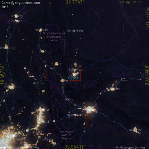
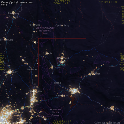
Analysis of Ceres night lights 2016
Square area 10x10 km:
 0.35%
0.35%90-99
1.05%80-89
3.15%70-79
6.64%60-69
2.1%50-59
3.32%40-49
1.92%30-39
2.8%20-29
1.22%10-19
9.27%0-9
68.18%Square area 50x50 km:
0.01%90-99
0.04%80-89
0.27%70-79
0.49%60-69
0.21%50-59
0.33%40-49
0.33%30-39
0.39%20-29
0.26%10-19
0.68%0-9
96.98%Clear (daylight) street map image can be seen on geolist.org.
Map coordinates:
32° 46' 46.9" South, 18° 36' 28.2" East
33° 22' 8" South, 19° 18' 39.4" East
33° 57' 14.8" South, 20° 0' 50.7" East
Some cities around Ceres sort by population:
• Paarl
51.1 km =31.8 mi,  217°
217°
• Worcester
33.4 km =20.8 mi,  157°
157°
• Stellenbosch
75.1 km =46.7 mi,  213°
213°
• Atlantis
79.9 km =49.6 mi,  254°
254°
• Kraaifontein
76.6 km =47.6 mi,  225°
225°
• Wellington
41 km =25.5 mi, 222°
• Malmesbury
55.1 km =34.2 mi,  259°
259°
• Robertson
71.9 km =44.7 mi,  132°
132°
3369129 (p: 41,596)
Sources (retrieved 2019-11-25):
» Earth at Night: Flat Maps 2012, 2016