Breyten night lights from space
Night Light of Breyten (Mpumalanga) from space (South Africa) Src. Average luminocity for 10x10km area is 5.3294% and for 50x50km: 1.9296%.
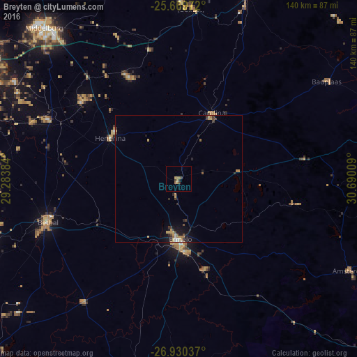
Analysis of Breyten night lights 2016
Square area 10x10 km:
 0%
0%90-99
0%80-89
0.79%70-79
1.59%60-69
2.38%50-59
0%40-49
0.6%30-39
1.79%20-29
0.79%10-19
0%0-9
92.06%Square area 50x50 km:
0.11%90-99
0.13%80-89
0.37%70-79
0.34%60-69
0.36%50-59
0.15%40-49
0.3%30-39
0.41%20-29
0.36%10-19
1.24%0-9
96.25%Clear (daylight) street map image can be seen on geolist.org.
Map coordinates:
25° 40' 11" South, 29° 17' 1.8" East
26° 18' 6.3" South, 29° 59' 13.1" East
26° 55' 49.3" South, 30° 41' 24.3" East
Some cities around Breyten sort by population:
• Witbank
89.2 km =55.4 mi,  302°
302°
• Middelburg
78.4 km =48.7 mi,  318°
318°
• Bethal
54.8 km =34.1 mi,  251°
251°
• Ermelo
25.8 km =16 mi,  180°
180°
• Secunda
86.2 km =53.6 mi, 251°
• Hendrina
31.4 km =19.5 mi, 300°
• Kriel
76 km =47.2 mi,  272°
272°
• Belfast
68.2 km =42.4 mi,  4°
4°
1015694 (p: 12,550)
Sources (retrieved 2019-11-25):
» Earth at Night: Flat Maps 2012, 2016