Cradock night lights from space
Night Light of Cradock (Eastern Cape) from space (South Africa) Src. Average luminocity for 10x10km area is 15.0909% and for 50x50km: 0.6634%.
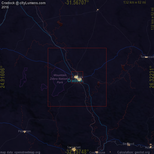
Analysis of Cradock night lights 2016
Square area 10x10 km:
 0%
0%90-99
0.17%80-89
2.1%70-79
7.17%60-69
3.85%50-59
1.4%40-49
0.17%30-39
1.92%20-29
1.75%10-19
1.4%0-9
80.07%Square area 50x50 km:
0%90-99
0.01%80-89
0.09%70-79
0.3%60-69
0.16%50-59
0.06%40-49
0.01%30-39
0.08%20-29
0.07%10-19
0.06%0-9
99.18%Clear (daylight) street map image can be seen on geolist.org.
Map coordinates:
31° 34' 1.5" South, 24° 54' 57.8" East
32° 9' 51.2" South, 25° 37' 9" East
32° 45' 26.9" South, 26° 19' 20.3" East
Some cities around Cradock sort by population:
• Queenstown
122.1 km =75.9 mi,  75°
75°
• Graaff-Reinet
102.9 km =63.9 mi,  264°
264°
• Fort Beaufort
116.9 km =72.6 mi,  125°
125°
• Middelburg
94.5 km =58.7 mi,  322°
322°
• Somerset East
62.1 km =38.6 mi,  182°
182°
• Adelaide
87.6 km =54.4 mi, 133°
• Whittlesea
113.4 km =70.5 mi,  90°
90°
• Molteno
110.5 km =68.7 mi,  39°
39°
1012600 (p: 32,898)
Sources (retrieved 2019-11-25):
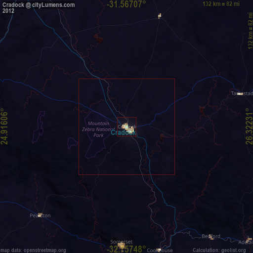
» Earth at Night: Flat Maps 2012, 2016