Dhamār night lights from space
Night Light of Dhamār from space (Yemen) Src. Average luminocity for 10x10km area is 3.9913% and for 50x50km: 0.1521%.
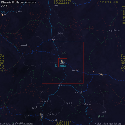
Analysis of Dhamār night lights 2016
Square area 10x10 km:
 0%
0%90-99
0%80-89
0%70-79
0%60-69
2.6%50-59
0%40-49
0.87%30-39
1.73%20-29
3.46%10-19
0.22%0-9
91.13%Square area 50x50 km:
0%90-99
0%80-89
0%70-79
0%60-69
0.1%50-59
0%40-49
0.03%30-39
0.07%20-29
0.13%10-19
0.01%0-9
99.66%Clear (daylight) street map image can be seen on geolist.org.
Map coordinates:
15° 13' 20.2" North, 43° 42' 7.3" East
14° 32' 33.9" North, 44° 24' 18.5" East
13° 51' 40" North, 45° 6' 29.8" East
Some cities around Dhamār sort by population:
• Sanaa
92.8 km =57.7 mi,  346°
346°
• Ibb
68.4 km =42.5 mi,  200°
200°
• Sayyān
70.5 km =43.8 mi, 352°
• Dhī as Sufāl
84.7 km =52.6 mi, 201°
• Yarīm
27.4 km =17 mi,  186°
186°
• Saḩar
86.6 km =53.8 mi, 353°
• Dhalie
100.5 km =62.4 mi,  159°
159°
• Al Jabīn
88.5 km =55 mi,  281°
281°
76184 (p: 160,114)
Sources (retrieved 2019-11-25):
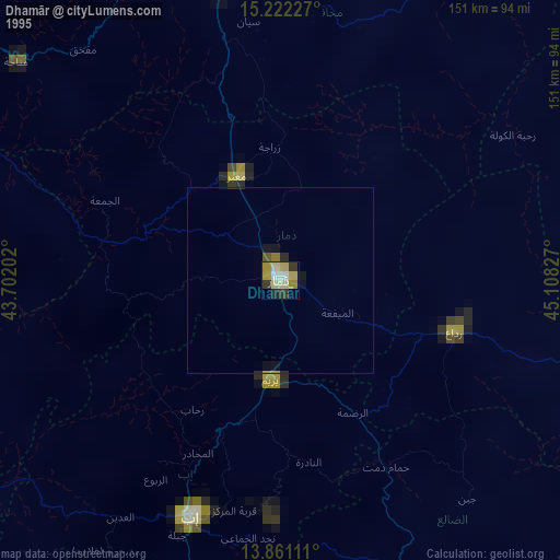
» NASA, Earths city lights 1995
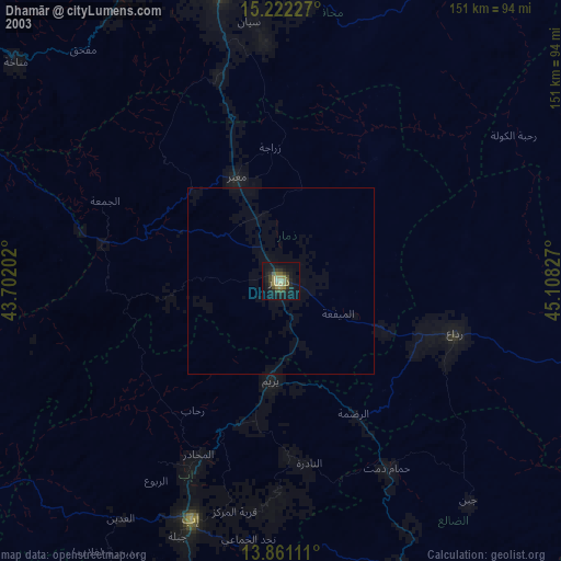
» NASA city lights 2003
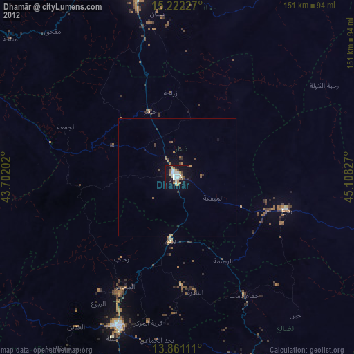
» Earth at Night: Flat Maps 2012, 2016