Dhalie night lights from space
Night Light of Dhalie (Aḑ Ḑāli‘) from space (Yemen) Src. Average luminocity for 10x10km area is 0.7335% and for 50x50km: 0.0444%.
Analysis of Dhalie night lights 2016
Square area 10x10 km:
 0%
0%90-99
0%80-89
0%70-79
0%60-69
0%50-59
0%40-49
0.83%30-39
0%20-29
0.83%10-19
0%0-9
98.35%Square area 50x50 km:
0%90-99
0%80-89
0%70-79
0%60-69
0%50-59
0%40-49
0.03%30-39
0%20-29
0.07%10-19
0.03%0-9
99.87%Clear (daylight) street map image can be seen on geolist.org.
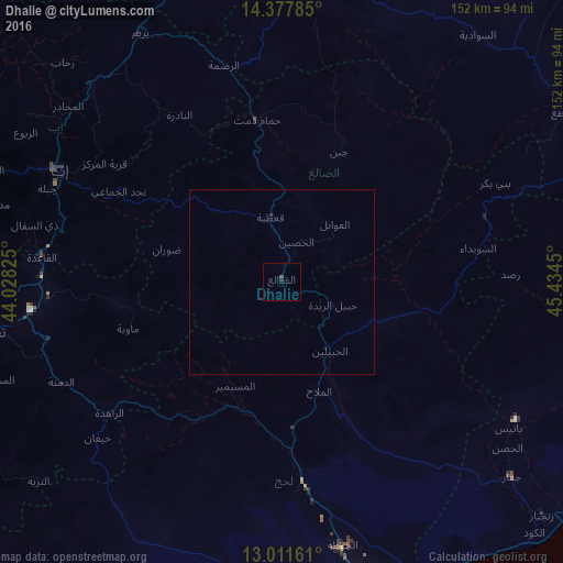
Map coordinates:
14° 22' 40.3" North, 44° 1' 41.7" East
13° 41' 44.6" North, 44° 43' 52.9" East
13° 0' 41.8" North, 45° 26' 4.2" East
Some cities around Dhalie sort by population:
• Ta‘izz
77.8 km =48.3 mi,  260°
260°
• Ibb
66.4 km =41.3 mi,  296°
296°
• Dhamār
100.5 km =62.4 mi,  339°
339°
• Dhī as Sufāl
68.4 km =42.5 mi,  283°
283°
• Al Bayda
96.4 km =59.9 mi,  70°
70°
• Yarīm
77.1 km =47.9 mi,  330°
330°
• Laḩij
72.9 km =45.3 mi,  167°
167°
• Zinjibār
94.4 km =58.7 mi,  131°
131°
80384 (p: 14,760)
Sources (retrieved 2019-11-25):
» Earth at Night: Flat Maps 2012, 2016