Saḩar night lights from space
Night Light of Saḩar (Sanaa) from space (Yemen) Src. Average luminocity for 10x10km area is 1.2293% and for 50x50km: 2.4939%.
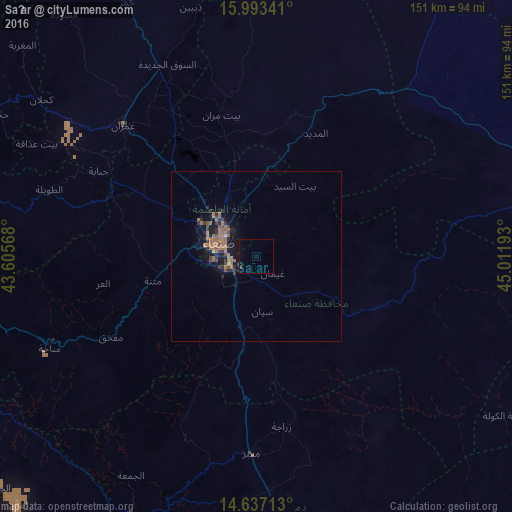
Analysis of Saḩar night lights 2016
Square area 10x10 km:
 0%
0%90-99
0%80-89
0%70-79
0%60-69
0%50-59
0%40-49
0.83%30-39
0%20-29
0%10-19
0%0-9
99.17%Square area 50x50 km:
0.02%90-99
0.01%80-89
0.07%70-79
0%60-69
1.53%50-59
0.55%40-49
0.32%30-39
0.55%20-29
0.76%10-19
2.26%0-9
93.93%Clear (daylight) street map image can be seen on geolist.org.
Map coordinates:
15° 59' 36.3" North, 43° 36' 20.4" East
15° 18' 58.9" North, 44° 18' 31.7" East
14° 38' 13.7" North, 45° 0' 42.9" East
Some cities around Saḩar sort by population:
• Sanaa
11.8 km =7.3 mi,  291°
291°
• Dhamār
86.6 km =53.8 mi,  173°
173°
• ‘Amrān
54.6 km =33.9 mi,  314°
314°
• Sayyān
16.2 km =10.1 mi, 174°
• Ḩajjah
86.2 km =53.6 mi,  299°
299°
• Al Maḩwīt
83.7 km =52 mi,  281°
281°
• Jadder Cemetery
21.9 km =13.6 mi,  320°
320°
• Al Jabīn
102.2 km =63.5 mi,  228°
228°
71273 (p: 31,859)
Sources (retrieved 2019-11-25):
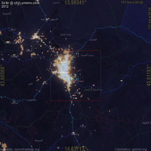
» Earth at Night: Flat Maps 2012, 2016