Yarīm night lights from space
Night Light of Yarīm (Ibb) from space (Yemen) Src. Average luminocity for 10x10km area is 0.2121% and for 50x50km: 0.0116%.
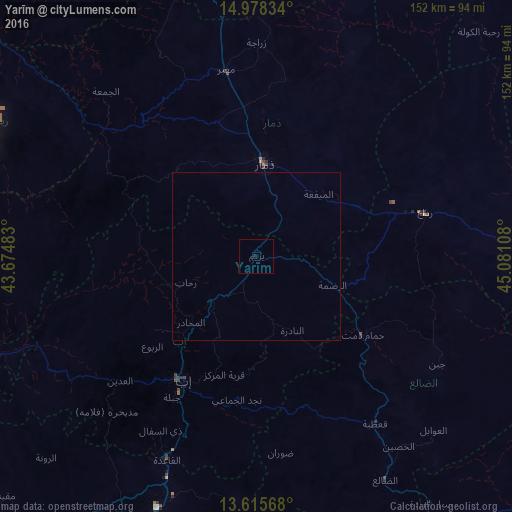
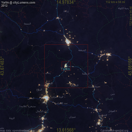
Analysis of Yarīm night lights 2016
Square area 10x10 km:
100  0%
0%
90-99 0%
80-89 0%
70-79 0%
60-69 0%
50-59 0%
40-49 0%
30-39 0%
20-29 0.43%
10-19 0.43%
0-9 99.13%
0%90-99
0%80-89
0%70-79
0%60-69
0%50-59
0%40-49
0%30-39
0%20-29
0.43%10-19
0.43%0-9
99.13%Square area 50x50 km:
100 0%
90-99 0%
80-89 0%
70-79 0%
60-69 0%
50-59 0%
40-49 0%
30-39 0%
20-29 0.02%
10-19 0.02%
0-9 99.97%
0%90-99
0%80-89
0%70-79
0%60-69
0%50-59
0%40-49
0%30-39
0%20-29
0.02%10-19
0.02%0-9
99.97%Clear (daylight) street map image can be seen on geolist.org.
Map coordinates:
14° 58' 42" North, 43° 40' 29.4" East
14° 17' 52.9" North, 44° 22' 40.6" East
13° 36' 56.4" North, 45° 4' 51.9" East
Some cities around Yarīm sort by population:
• Ta‘izz
88.7 km =55.1 mi,  205°
205°
• Ibb
42.4 km =26.3 mi, 209°
• Dhamār
27.4 km =17 mi,  6°
6°
• Sayyān
97.3 km =60.5 mi,  356°
356°
• Dhī as Sufāl
58.8 km =36.5 mi, 208°
• Saḩar
113.5 km =70.5 mi, 356°
• Dhalie
77.1 km =47.9 mi,  150°
150°
• Al Jabīn
95.2 km =59.2 mi,  298°
298°
69559 (p: 33,050)
Sources (retrieved 2019-11-25):
» Earth at Night: Flat Maps 2012, 2016