Vị Thanh night lights from space
Night Light of Vị Thanh (Hậu Giang) from space (Vietnam) Src. Average luminocity for 10x10km area is 23.8701% and for 50x50km: 2.0844%.
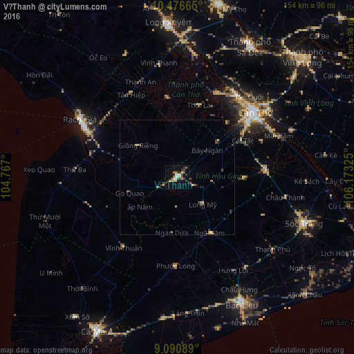
Analysis of Vị Thanh night lights 2016
Square area 10x10 km:
 3.25%
3.25%90-99
3.03%80-89
3.68%70-79
2.38%60-69
1.95%50-59
3.03%40-49
3.25%30-39
7.79%20-29
0.87%10-19
20.35%0-9
50.43%Square area 50x50 km:
0.15%90-99
0.15%80-89
0.34%70-79
0.23%60-69
0.22%50-59
0.24%40-49
0.49%30-39
0.59%20-29
0.33%10-19
1.19%0-9
96.06%Clear (daylight) street map image can be seen on geolist.org.
Map coordinates:
10° 28' 35.9" North, 104° 46' 1.2" East
9° 47' 4.2" North, 105° 28' 12.4" East
9° 5' 27.2" North, 106° 10' 23.7" East
Some cities around Vị Thanh sort by population:
• Cần Thơ
44.8 km =27.8 mi,  51°
51°
• Rạch Giá
49.6 km =30.8 mi,  300°
300°
• Sa Dec
64.4 km =40 mi,  29°
29°
• Long Xuyên
67 km =41.6 mi,  356°
356°
• Sóc Trăng
58.7 km =36.5 mi,  110°
110°
• Bạc Liêu
61.4 km =38.2 mi,  152°
152°
• Vĩnh Long
75.8 km =47.1 mi, 46°
• Thị Trấn Tân Thành
54.1 km =33.6 mi,  14°
14°
1562538 (p: 24,477)
Sources (retrieved 2019-11-25):
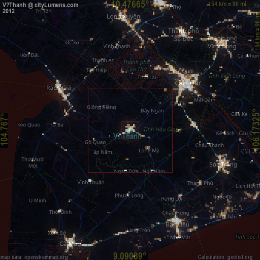
» Earth at Night: Flat Maps 2012, 2016