Rạch Giá night lights from space
Night Light of Rạch Giá (Kiến Giang) from space (Vietnam) Src. Average luminocity for 10x10km area is 32.8574% and for 50x50km: 3.0455%.
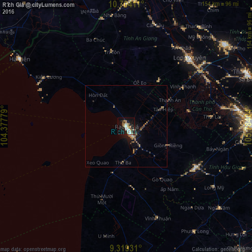
Analysis of Rạch Giá night lights 2016
Square area 10x10 km:
 4.75%
4.75%90-99
7.64%80-89
3.72%70-79
4.34%60-69
3.93%50-59
4.13%40-49
1.86%30-39
3.31%20-29
5.79%10-19
31.61%0-9
28.93%Square area 50x50 km:
0.23%90-99
0.35%80-89
0.31%70-79
0.47%60-69
0.51%50-59
0.39%40-49
0.42%30-39
0.56%20-29
0.54%10-19
3.03%0-9
93.2%Clear (daylight) street map image can be seen on geolist.org.
Map coordinates:
10° 42' 14.8" North, 104° 22' 40" East
10° 0' 44.8" North, 105° 4' 51.3" East
9° 19' 9.5" North, 105° 47' 2.5" East
Some cities around Rạch Giá sort by population:
• Cần Thơ
77.5 km =48.2 mi,  87°
87°
• Sa Dec
80.1 km =49.8 mi,  67°
67°
• Long Xuyên
56.8 km =35.3 mi,  42°
42°
• Cho Dok
76.5 km =47.5 mi,  2°
2°
• Cao Lãnh
78.3 km =48.7 mi,  50°
50°
• Hà Tiên
76.9 km =47.8 mi,  302°
302°
• Vị Thanh
49.6 km =30.8 mi,  120°
120°
• Thị Trấn Tân Thành
62.2 km =38.6 mi,  64°
64°
1568510 (p: 228,356)
Sources (retrieved 2019-11-25):
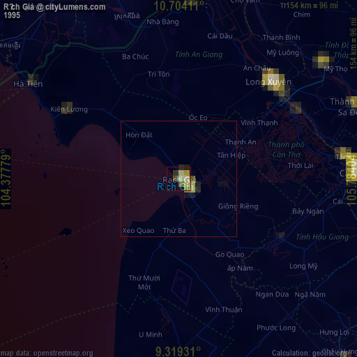
» NASA, Earths city lights 1995
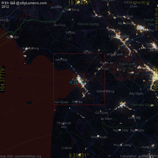
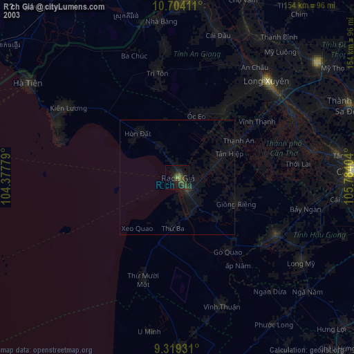
» NASA city lights 2003
» Earth at Night: Flat Maps 2012, 2016