Long Xuyên night lights from space
Night Light of Long Xuyên (An Giang) from space (Vietnam) Src. Average luminocity for 10x10km area is 36.5351% and for 50x50km: 8.0481%.
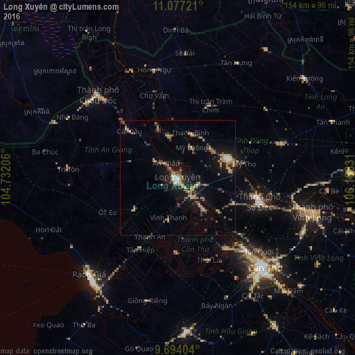
Analysis of Long Xuyên night lights 2016
Square area 10x10 km:
 4.55%
4.55%90-99
4.96%80-89
3.31%70-79
5.79%60-69
5.99%50-59
7.02%40-49
5.99%30-39
4.55%20-29
6.4%10-19
42.77%0-9
8.68%Square area 50x50 km:
0.38%90-99
0.35%80-89
1.2%70-79
1.4%60-69
1.62%50-59
1.13%40-49
1.15%30-39
1.68%20-29
1.46%10-19
6.8%0-9
82.83%Clear (daylight) street map image can be seen on geolist.org.
Map coordinates:
11° 4' 38" North, 104° 43' 55.4" East
10° 23' 11" North, 105° 26' 6.6" East
9° 41' 38.5" North, 106° 8' 17.9" East
Some cities around Long Xuyên sort by population:
• Cần Thơ
54.8 km =34.1 mi,  135°
135°
• Rạch Giá
56.8 km =35.3 mi,  222°
222°
• Sa Dec
36.7 km =22.8 mi,  106°
106°
• Vĩnh Long
60.6 km =37.7 mi,  104°
104°
• Cho Dok
49.3 km =30.6 mi,  315°
315°
• Cao Lãnh
23.1 km =14.4 mi,  69°
69°
• Vị Thanh
67 km =41.6 mi,  176°
176°
• Thị Trấn Tân Thành
22.5 km =14 mi,  130°
130°
1575627 (p: 158,153)
Sources (retrieved 2019-11-25):
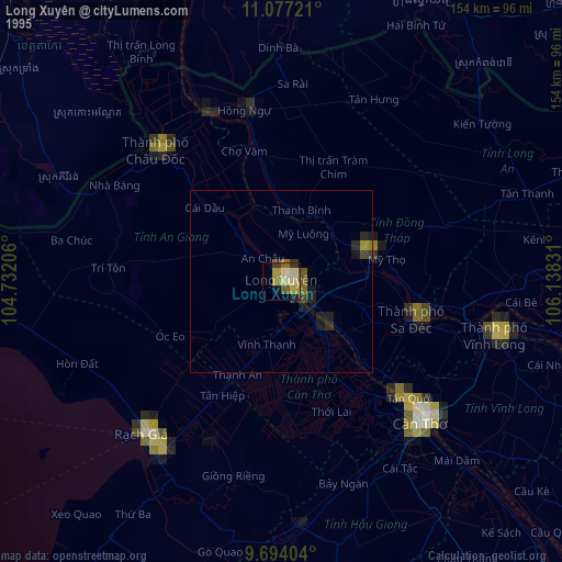
» NASA, Earths city lights 1995
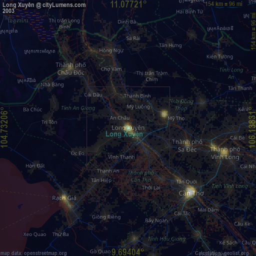
» NASA city lights 2003
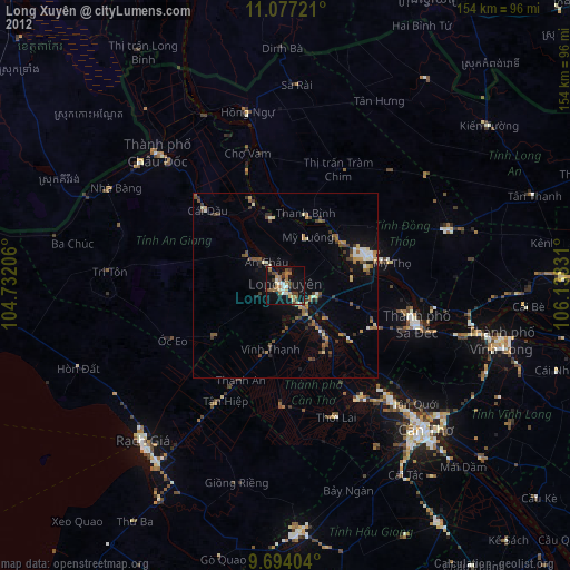
» Earth at Night: Flat Maps 2012, 2016