Bạc Liêu night lights from space
Night Light of Bạc Liêu from space (Vietnam) Src. Average luminocity for 10x10km area is 41.9286% and for 50x50km: 4.4845%.
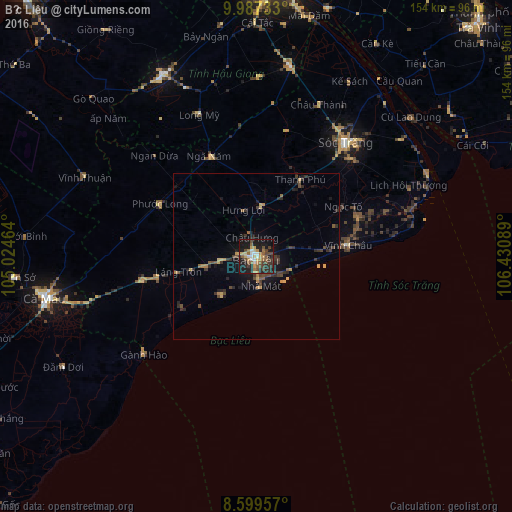
Analysis of Bạc Liêu night lights 2016
Square area 10x10 km:
 3.9%
3.9%90-99
4.76%80-89
5.63%70-79
6.06%60-69
7.58%50-59
9.31%40-49
7.79%30-39
8.66%20-29
10.17%10-19
33.33%0-9
2.81%Square area 50x50 km:
0.15%90-99
0.19%80-89
0.59%70-79
0.55%60-69
0.64%50-59
0.68%40-49
1.01%30-39
1.38%20-29
1.55%10-19
3.42%0-9
89.84%Clear (daylight) street map image can be seen on geolist.org.
Map coordinates:
9° 59' 14.4" North, 105° 1' 28.7" East
9° 17' 38.9" North, 105° 43' 39.9" East
8° 35' 58.5" North, 106° 25' 51.2" East
Some cities around Bạc Liêu sort by population:
• Cần Thơ
82.9 km =51.5 mi,  4°
4°
• Rạch Giá
106.8 km =66.4 mi,  318°
318°
• Sóc Trăng
43.3 km =26.9 mi,  38°
38°
• Cà Mau
64.5 km =40.1 mi,  258°
258°
• Vĩnh Long
110 km =68.4 mi,  14°
14°
• Trà Vinh
99 km =61.5 mi, 42°
• Vị Thanh
61.4 km =38.2 mi,  332°
332°
• Thị Trấn Tân Thành
108 km =67.1 mi,  352°
352°
1591474 (p: 107,911)
Sources (retrieved 2019-11-25):
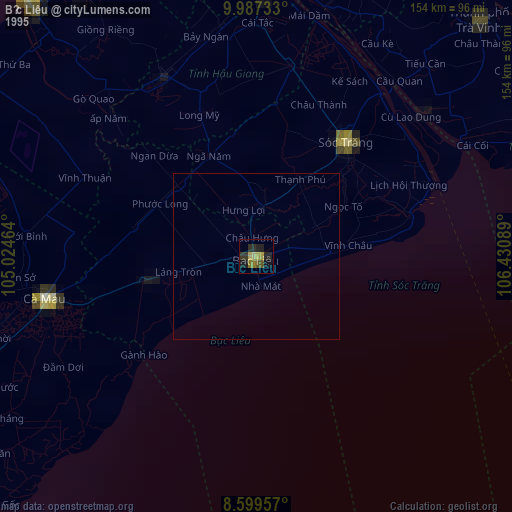
» NASA, Earths city lights 1995
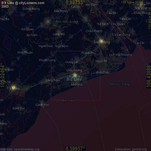
» NASA city lights 2003
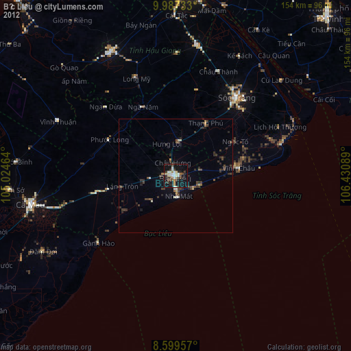
» Earth at Night: Flat Maps 2012, 2016