Sa Dec night lights from space
Night Light of Sa Dec (Đồng Tháp) from space (Vietnam) Src. Average luminocity for 10x10km area is 35.6674% and for 50x50km: 12.5222%.
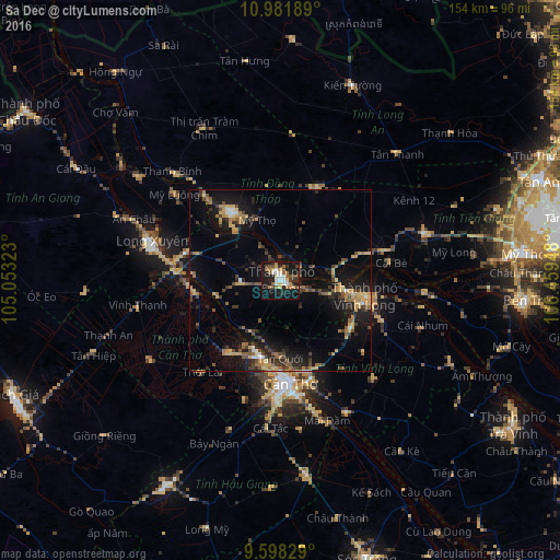
Analysis of Sa Dec night lights 2016
Square area 10x10 km:
 4.75%
4.75%90-99
4.96%80-89
3.93%70-79
4.13%60-69
6.4%50-59
6.4%40-49
6.4%30-39
3.51%20-29
7.64%10-19
40.7%0-9
11.16%Square area 50x50 km:
0.55%90-99
0.67%80-89
1.84%70-79
1.91%60-69
2.32%50-59
1.7%40-49
2.24%30-39
2.31%20-29
3.42%10-19
11.95%0-9
71.09%Clear (daylight) street map image can be seen on geolist.org.
Map coordinates:
10° 58' 54.8" North, 105° 3' 11.6" East
10° 17' 27.1" North, 105° 45' 22.9" East
9° 35' 53.8" North, 106° 27' 34.1" East
Some cities around Sa Dec sort by population:
• Cần Thơ
28.4 km =17.6 mi,  172°
172°
• Long Xuyên
36.7 km =22.8 mi,  286°
286°
• Mỹ Tho
66.5 km =41.3 mi,  83°
83°
• Vĩnh Long
24 km =14.9 mi,  99°
99°
• Cao Lãnh
23.2 km =14.4 mi,  324°
324°
• Vị Thanh
64.4 km =40 mi,  209°
209°
• Thị Trấn Tân Thành
18.3 km =11.4 mi,  257°
257°
• Ấp Tân Ngãi
58 km =36 mi, 96°
1568212 (p: 203,588)
Sources (retrieved 2019-11-25):
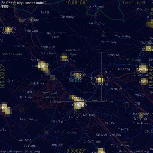
» NASA, Earths city lights 1995
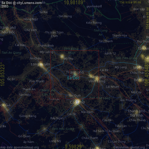
» NASA city lights 2003
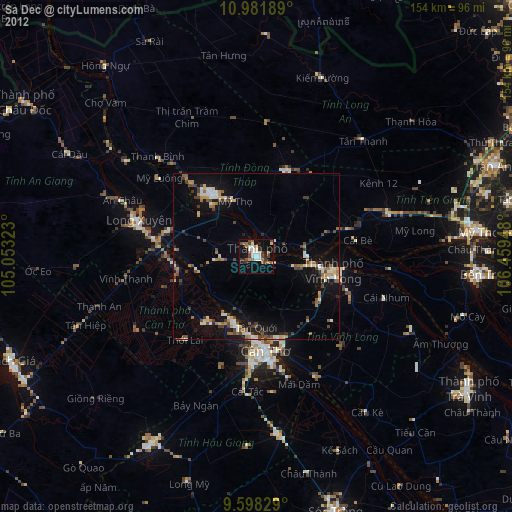
» Earth at Night: Flat Maps 2012, 2016