Sóc Trăng night lights from space
Night Light of Sóc Trăng from space (Vietnam) Src. Average luminocity for 10x10km area is 38.9242% and for 50x50km: 4.7059%.
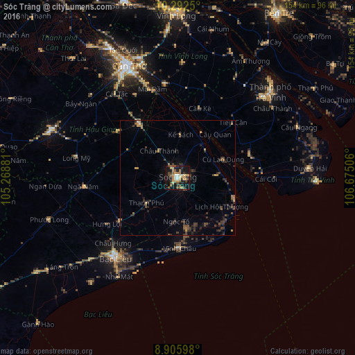
Analysis of Sóc Trăng night lights 2016
Square area 10x10 km:
 3.25%
3.25%90-99
3.68%80-89
4.55%70-79
11.69%60-69
8.87%50-59
5.41%40-49
4.76%30-39
5.41%20-29
4.76%10-19
40.91%0-9
6.71%Square area 50x50 km:
0.16%90-99
0.18%80-89
0.38%70-79
0.8%60-69
0.82%50-59
0.61%40-49
1.18%30-39
1.32%20-29
1.84%10-19
3.05%0-9
89.65%Clear (daylight) street map image can be seen on geolist.org.
Map coordinates:
10° 17' 33" North, 105° 16' 7.7" East
9° 35' 59.8" North, 105° 58' 18.9" East
8° 54' 21.5" North, 106° 40' 30.2" East
Some cities around Sóc Trăng sort by population:
• Cần Thơ
52.6 km =32.7 mi,  337°
337°
• Sa Dec
80.4 km =50 mi, 342°
• Bạc Liêu
43.3 km =26.9 mi,  218°
218°
• Vĩnh Long
72.7 km =45.2 mi,  0°
0°
• Bến Tre
83.9 km =52.1 mi,  31°
31°
• Trà Vinh
56 km =34.8 mi,  46°
46°
• Vị Thanh
58.7 km =36.5 mi,  290°
290°
• Ấp Tân Ngãi
78.2 km =48.6 mi, 25°
1567788 (p: 114,453)
Sources (retrieved 2019-11-25):
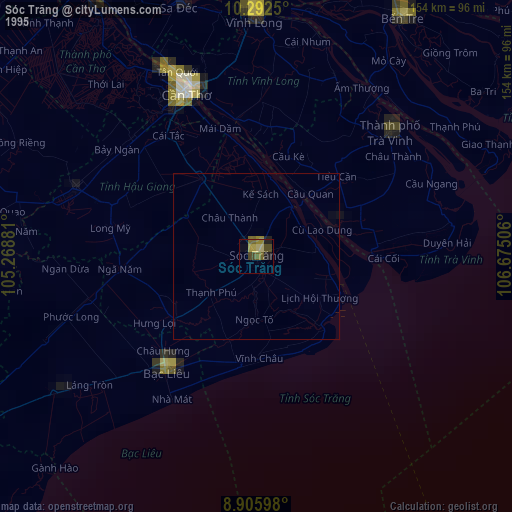
» NASA, Earths city lights 1995
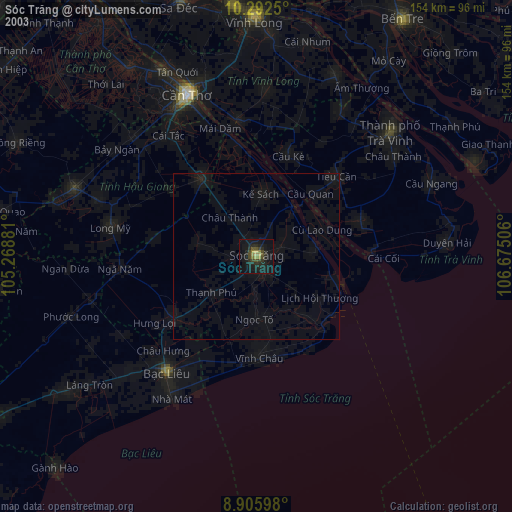
» NASA city lights 2003
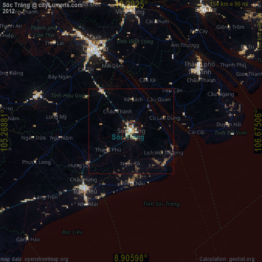
» Earth at Night: Flat Maps 2012, 2016