Vĩnh Long night lights from space
Night Light of Vĩnh Long from space (Vietnam) Src. Average luminocity for 10x10km area is 36.9855% and for 50x50km: 10.6145%.
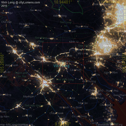
Analysis of Vĩnh Long night lights 2016
Square area 10x10 km:
 0.62%
0.62%90-99
1.86%80-89
7.85%70-79
14.26%60-69
7.64%50-59
2.48%40-49
4.96%30-39
1.03%20-29
10.12%10-19
38.22%0-9
10.95%Square area 50x50 km:
0.63%90-99
0.74%80-89
1.56%70-79
1.85%60-69
1.95%50-59
1.24%40-49
1.94%30-39
1.65%20-29
2.82%10-19
8%0-9
77.62%Clear (daylight) street map image can be seen on geolist.org.
Map coordinates:
10° 56' 41.3" North, 105° 16' 8.7" East
10° 15' 13.3" North, 105° 58' 19.9" East
9° 33' 39.8" North, 106° 40' 31.2" East
Some cities around Vĩnh Long sort by population:
• Cần Thơ
31.4 km =19.5 mi,  219°
219°
• Sa Dec
24 km =14.9 mi,  279°
279°
• Mỹ Tho
44 km =27.3 mi,  74°
74°
• Cao Lãnh
43.6 km =27.1 mi,  301°
301°
• Bến Tre
44.2 km =27.5 mi,  91°
91°
• Trà Vinh
52.9 km =32.9 mi,  130°
130°
• Thị Trấn Tân Thành
41.5 km =25.8 mi,  270°
270°
• Ấp Tân Ngãi
34.1 km =21.2 mi, 93°
1562693 (p: 103,314)
Sources (retrieved 2019-11-25):
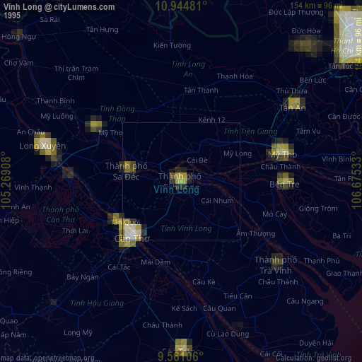
» NASA, Earths city lights 1995
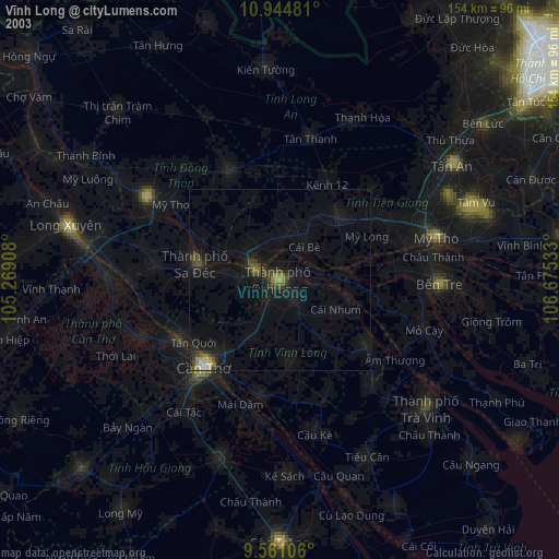
» NASA city lights 2003
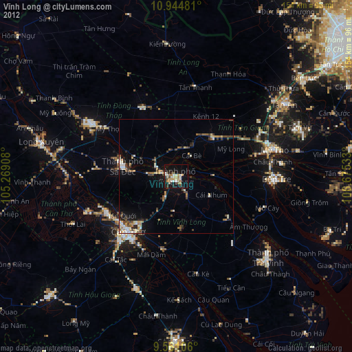
» Earth at Night: Flat Maps 2012, 2016