Trà Vinh night lights from space
Night Light of Trà Vinh from space (Vietnam) Src. Average luminocity for 10x10km area is 34.0041% and for 50x50km: 3.9118%.
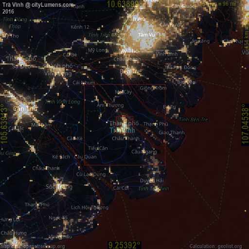
Analysis of Trà Vinh night lights 2016
Square area 10x10 km:
 1.86%
1.86%90-99
2.07%80-89
8.06%70-79
9.3%60-69
8.47%50-59
2.07%40-49
4.75%30-39
3.72%20-29
1.86%10-19
32.23%0-9
25.62%Square area 50x50 km:
0.08%90-99
0.12%80-89
0.45%70-79
0.74%60-69
0.66%50-59
0.45%40-49
0.83%30-39
1.14%20-29
1.29%10-19
2.63%0-9
91.62%Clear (daylight) street map image can be seen on geolist.org.
Map coordinates:
10° 38' 20.4" North, 105° 38' 20.9" East
9° 56' 49.9" North, 106° 20' 32.1" East
9° 15' 14.1" North, 107° 2' 43.4" East
Some cities around Trà Vinh sort by population:
• Cần Thơ
61.5 km =38.2 mi,  279°
279°
• Sa Dec
74.7 km =46.4 mi,  300°
300°
• Mỹ Tho
45.9 km =28.5 mi,  2°
2°
• Sóc Trăng
56 km =34.8 mi,  226°
226°
• Vĩnh Long
52.9 km =32.9 mi,  310°
310°
• Tân An
65.9 km =40.9 mi,  6°
6°
• Bến Tre
32.9 km =20.4 mi, 6°
• Ấp Tân Ngãi
32.5 km =20.2 mi,  348°
348°
1563926 (p: 57,408)
Sources (retrieved 2019-11-25):
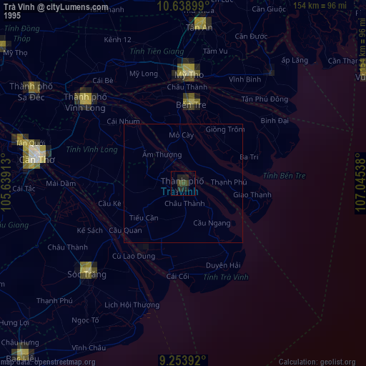
» NASA, Earths city lights 1995
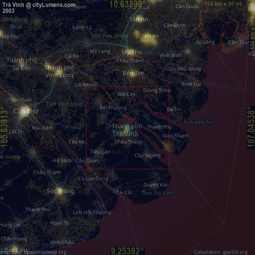
» NASA city lights 2003
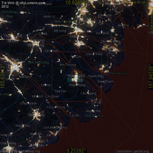
» Earth at Night: Flat Maps 2012, 2016