Bến Tre night lights from space
Night Light of Bến Tre from space (Vietnam) Src. Average luminocity for 10x10km area is 46.6074% and for 50x50km: 20.8155%.
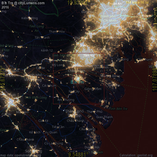
Analysis of Bến Tre night lights 2016
Square area 10x10 km:
 2.89%
2.89%90-99
2.89%80-89
7.64%70-79
14.05%60-69
9.71%50-59
7.02%40-49
5.58%30-39
11.36%20-29
19.21%10-19
19.21%0-9
0.41%Square area 50x50 km:
3.36%90-99
2.79%80-89
1.93%70-79
4.26%60-69
3.81%50-59
2.47%40-49
3.44%30-39
4.3%20-29
5.34%10-19
6.45%0-9
61.86%Clear (daylight) street map image can be seen on geolist.org.
Map coordinates:
10° 55' 57.4" North, 105° 40' 21.8" East
10° 14' 29.3" North, 106° 22' 33.1" East
9° 32' 55.7" North, 107° 4' 44.3" East
Some cities around Bến Tre sort by population:
• Sa Dec
68 km =42.3 mi,  274°
274°
• Cần Giuộc
52.1 km =32.4 mi,  38°
38°
• Mỹ Tho
13.3 km =8.3 mi,  352°
352°
• Vĩnh Long
44.2 km =27.5 mi, 271°
• Tân An
33 km =20.5 mi,  7°
7°
• Trà Vinh
32.9 km =20.4 mi,  186°
186°
• Cần Giờ
66.1 km =41.1 mi,  73°
73°
• Ấp Tân Ngãi
10.2 km =6.3 mi,  264°
264°
1587976 (p: 59,442)
Sources (retrieved 2019-11-25):
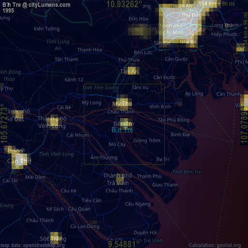
» NASA, Earths city lights 1995
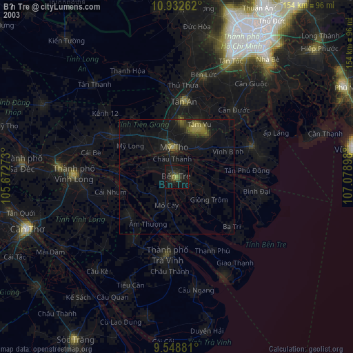
» NASA city lights 2003
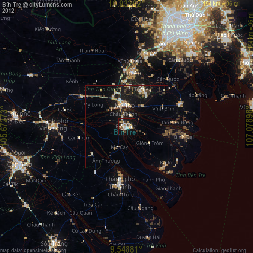
» Earth at Night: Flat Maps 2012, 2016