Hà Tiên night lights from space
Night Light of Hà Tiên (Kiến Giang) from space (Vietnam) Src. Average luminocity for 10x10km area is 13.4008% and for 50x50km: 1.1157%.
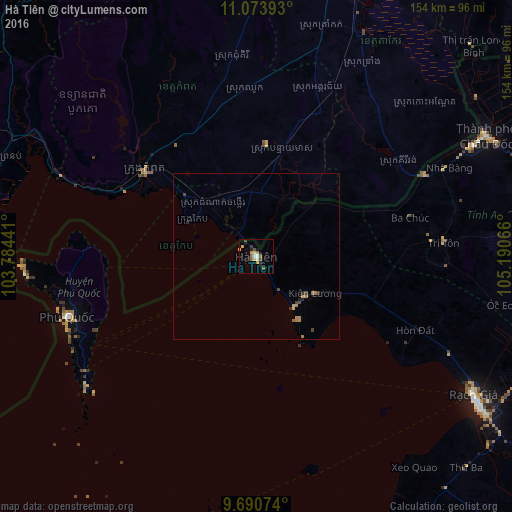
Analysis of Hà Tiên night lights 2016
Square area 10x10 km:
 1.24%
1.24%90-99
1.24%80-89
2.48%70-79
2.07%60-69
0.62%50-59
3.51%40-49
2.27%30-39
1.86%20-29
2.07%10-19
1.24%0-9
81.4%Square area 50x50 km:
0.05%90-99
0.05%80-89
0.19%70-79
0.14%60-69
0.27%50-59
0.21%40-49
0.24%30-39
0.18%20-29
0.24%10-19
0.05%0-9
98.38%Clear (daylight) street map image can be seen on geolist.org.
Map coordinates:
11° 4' 26.1" North, 103° 47' 3.9" East
10° 22' 59.2" North, 104° 29' 15.1" East
9° 41' 26.7" North, 105° 11' 26.4" East
Some cities around Hà Tiên sort by population:
• Takeo, KH
75 km =46.6 mi,  25°
25°
• Rạch Giá
76.9 km =47.8 mi,  122°
122°
• Long Xuyên
103.6 km =64.4 mi,  89°
89°
• Cho Dok
77.3 km =48 mi,  62°
62°
• Phumĭ Véal Srê, KH
73.7 km =45.8 mi, 25°
• Kampot, KH
41.9 km =26 mi,  307°
307°
• Dương Đông
60.7 km =37.7 mi,  252°
252°
• Krong Kep, KH
21.7 km =13.5 mi,  300°
300°
1581052 (p: 40,000)
Sources (retrieved 2019-11-25):
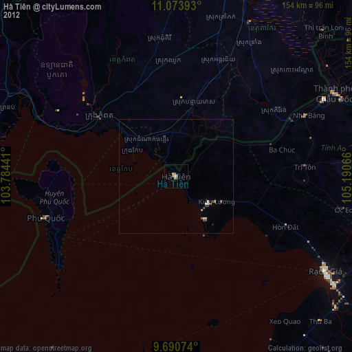
» Earth at Night: Flat Maps 2012, 2016