Cao Lãnh night lights from space
Night Light of Cao Lãnh (Đồng Tháp) from space (Vietnam) Src. Average luminocity for 10x10km area is 36.5475% and for 50x50km: 9.7047%.
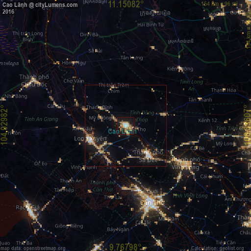
Analysis of Cao Lãnh night lights 2016
Square area 10x10 km:
 3.93%
3.93%90-99
2.07%80-89
9.5%70-79
6.82%60-69
8.26%50-59
2.48%40-49
2.48%30-39
5.37%20-29
6.2%10-19
43.39%0-9
9.5%Square area 50x50 km:
0.56%90-99
0.53%80-89
1.36%70-79
1.45%60-69
1.69%50-59
1.46%40-49
1.66%30-39
1.92%20-29
1.9%10-19
9.12%0-9
78.34%Clear (daylight) street map image can be seen on geolist.org.
Map coordinates:
11° 9' 3" North, 104° 55' 47.4" East
10° 27' 36.6" North, 105° 37' 58.6" East
9° 46' 4.7" North, 106° 20' 9.9" East
Some cities around Cao Lãnh sort by population:
• Cần Thơ
50 km =31.1 mi,  160°
160°
• Sa Dec
23.2 km =14.4 mi,  144°
144°
• Long Xuyên
23.1 km =14.4 mi,  249°
249°
• Vĩnh Long
43.6 km =27.1 mi,  121°
121°
• Cho Dok
62.4 km =38.8 mi,  295°
295°
• Svay Rieng, KH
72.1 km =44.8 mi,  14°
14°
• Thị Trấn Tân Thành
23.1 km =14.4 mi,  190°
190°
• Ấp Tân Ngãi
75.5 km =46.9 mi,  109°
109°
1586151 (p: 63,770)
Sources (retrieved 2019-11-25):
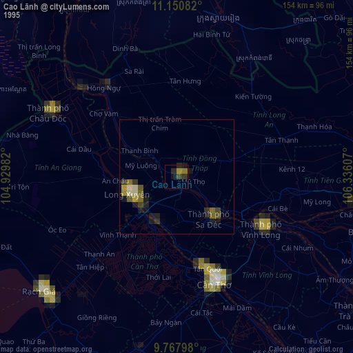
» NASA, Earths city lights 1995
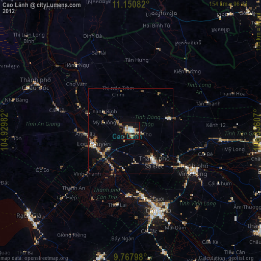
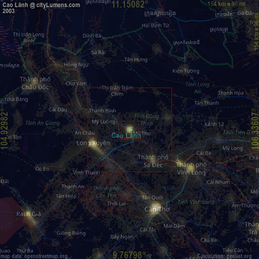
» NASA city lights 2003
» Earth at Night: Flat Maps 2012, 2016