Cho Dok night lights from space
Night Light of Cho Dok (An Giang) from space (Vietnam) Src. Average luminocity for 10x10km area is 22.9153% and for 50x50km: 2.2413%.
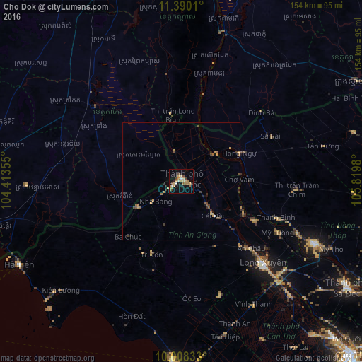
Analysis of Cho Dok night lights 2016
Square area 10x10 km:
 1.86%
1.86%90-99
1.24%80-89
5.58%70-79
4.55%60-69
3.72%50-59
2.89%40-49
3.93%30-39
1.03%20-29
1.24%10-19
15.91%0-9
58.06%Square area 50x50 km:
0.08%90-99
0.08%80-89
0.34%70-79
0.56%60-69
0.31%50-59
0.34%40-49
0.49%30-39
0.43%20-29
0.21%10-19
0.98%0-9
96.18%Clear (daylight) street map image can be seen on geolist.org.
Map coordinates:
11° 23' 24.4" North, 104° 24' 48.8" East
10° 42' 0" North, 105° 7' 0" East
10° 0' 30" North, 105° 49' 11.3" East
Some cities around Cho Dok sort by population:
• Takeo, KH
48.6 km =30.2 mi,  311°
311°
• Rạch Giá
76.5 km =47.5 mi,  182°
182°
• Sa Dec
83.4 km =51.8 mi,  123°
123°
• Long Xuyên
49.3 km =30.6 mi,  135°
135°
• Cao Lãnh
62.4 km =38.8 mi, 115°
• Phumĭ Véal Srê, KH
48.4 km =30.1 mi, 310°
• Hà Tiên
77.3 km =48 mi,  242°
242°
• Thị Trấn Tân Thành
71.7 km =44.6 mi,  133°
133°
1585660 (p: 70,239)
Sources (retrieved 2019-11-25):
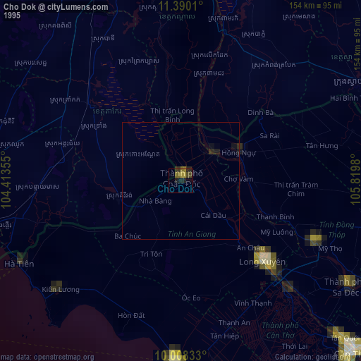
» NASA, Earths city lights 1995
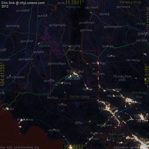
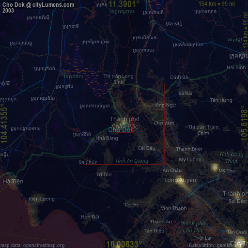
» NASA city lights 2003
» Earth at Night: Flat Maps 2012, 2016