Kwang Binh night lights from space
Night Light of Kwang Binh (Quảng Bình) from space (Vietnam) Src. Average luminocity for 10x10km area is 44.5269% and for 50x50km: 2.5948%.
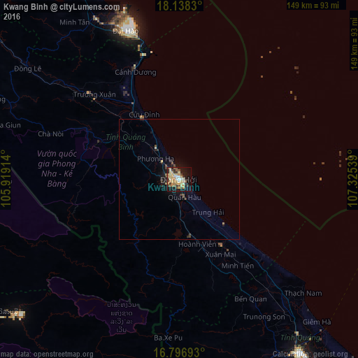
Analysis of Kwang Binh night lights 2016
Square area 10x10 km:
 3.1%
3.1%90-99
7.02%80-89
11.78%70-79
8.06%60-69
7.02%50-59
5.79%40-49
5.37%30-39
7.23%20-29
4.96%10-19
32.23%0-9
7.44%Square area 50x50 km:
0.12%90-99
0.31%80-89
0.5%70-79
0.34%60-69
0.33%50-59
0.33%40-49
0.45%30-39
0.48%20-29
0.41%10-19
2.66%0-9
94.07%Clear (daylight) street map image can be seen on geolist.org.
Map coordinates:
18° 8' 17.9" North, 105° 55' 8.9" East
17° 28' 7.9" North, 106° 37' 20.1" East
16° 47' 48.9" North, 107° 19' 31.4" East
Some cities around Kwang Binh sort by population:
• Huế
152.5 km =94.8 mi,  137°
137°
• Vinh
166.1 km =103.2 mi,  323°
323°
• Yên Vinh
167.2 km =103.9 mi, 322°
• Thakhèk, LA
190.2 km =118.2 mi,  268°
268°
• Nakhon Phanom, TH
195.7 km =121.6 mi, 268°
• Hà Tĩnh
123.3 km =76.6 mi, 322°
• Ðông Hà
88.6 km =55.1 mi,  145°
145°
• Salavan, LA
196.1 km =121.9 mi,  186°
186°
1582886 (p: 31,040)
Sources (retrieved 2019-11-25):
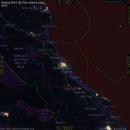
» Earth at Night: Flat Maps 2012, 2016