Nakhon Phanom night lights from space
Night Light of Nakhon Phanom from space (Thailand) Src. Average luminocity for 10x10km area is 55.9587% and for 50x50km: 6.4724%.
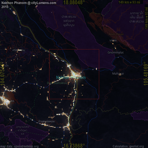
Analysis of Nakhon Phanom night lights 2016
Square area 10x10 km:
 5.79%
5.79%90-99
15.08%80-89
11.16%70-79
9.5%60-69
5.79%50-59
2.89%40-49
9.5%30-39
9.3%20-29
20.66%10-19
10.33%0-9
0%Square area 50x50 km:
0.3%90-99
1.32%80-89
0.89%70-79
0.98%60-69
0.45%50-59
0.5%40-49
1.1%30-39
1.17%20-29
2.15%10-19
4.51%0-9
86.63%Clear (daylight) street map image can be seen on geolist.org.
Map coordinates:
18° 4' 49.7" North, 104° 4' 31.6" East
17° 24' 38.9" North, 104° 46' 42.8" East
16° 44' 19.2" North, 105° 28' 54.1" East
Some cities around Nakhon Phanom sort by population:
• Thakhèk, LA
5.5 km =3.4 mi,  90°
90°
• Sakon Nakhon
72.5 km =45 mi,  247°
247°
• Savannakhet, LA
93.5 km =58.1 mi,  181°
181°
• Mukdahan
96.4 km =59.9 mi, 183°
• Seka
104.5 km =64.9 mi,  303°
303°
• Khao Wong
107.7 km =66.9 mi,  222°
222°
• That Phanom
53.2 km =33.1 mi,  187°
187°
• Na Wa
72.4 km =45 mi,  276°
276°
1608531 (p: 34,595)
Sources (retrieved 2019-11-25):
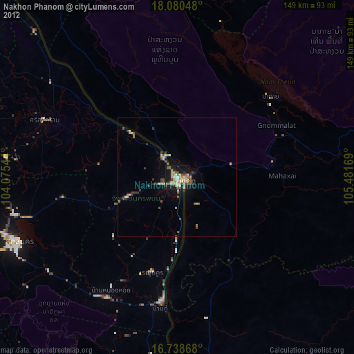
» Earth at Night: Flat Maps 2012, 2016