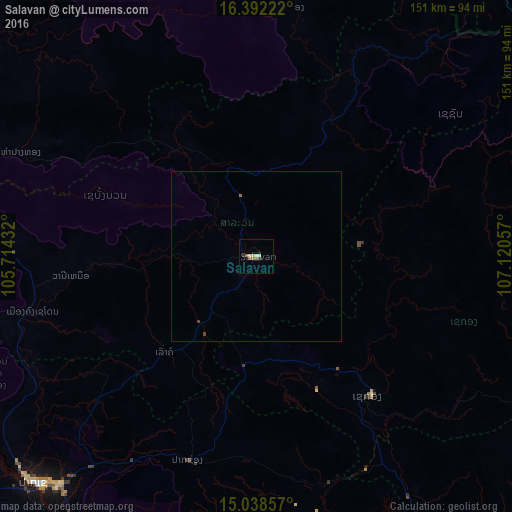
Salavan night lights from space
Night Light of Salavan from space (Laos) Src. Average luminocity for 10x10km area is 6.7013% and for 50x50km: 0.3109%.
Analysis of Salavan night lights 2016
Square area 10x10 km:
 0%
0%90-99
1.52%80-89
1.95%70-79
0%60-69
1.73%50-59
1.73%40-49
0.22%30-39
0.87%20-29
0.65%10-19
0.65%0-9
90.69%Square area 50x50 km:
0%90-99
0.06%80-89
0.08%70-79
0%60-69
0.07%50-59
0.1%40-49
0.06%30-39
0.05%20-29
0.03%10-19
0.03%0-9
99.54%Clear (daylight) street map image can be seen on geolist.org.
Map coordinates:
16° 23' 32" North, 105° 42' 51.6" East
15° 42' 59.5" North, 106° 25' 2.8" East
15° 2' 18.9" North, 107° 7' 14.1" East
Some cities around Salavan sort by population:
• Huế, VN
150.7 km =93.6 mi,  56°
56°
• Pakse
93.8 km =58.3 mi,  224°
224°
• Phibun Mangsahan, TH
137.7 km =85.6 mi,  247°
247°
• Ðông Hà, VN
142.4 km =88.5 mi,  30°
30°
• Champasak
108.4 km =67.4 mi,  212°
212°
• Sawang Wirawong, TH
151.5 km =94.1 mi, 249°
• Attapeu
110.1 km =68.4 mi,  156°
156°
• Sekong
52.7 km =32.7 mi,  141°
141°
1653334 (p: 5,521)
Sources (retrieved 2019-11-25):
» Earth at Night: Flat Maps 2012, 2016