Yên Vinh night lights from space
Night Light of Yên Vinh (Nghệ An) from space (Vietnam) Src. Average luminocity for 10x10km area is 59.3326% and for 50x50km: 5.7458%.
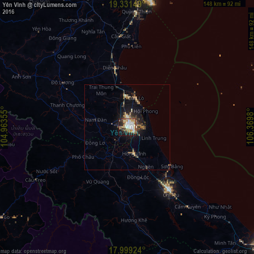
Analysis of Yên Vinh night lights 2016
Square area 10x10 km:
 12.4%
12.4%90-99
12.4%80-89
9.5%70-79
13.84%60-69
9.09%50-59
3.31%40-49
4.75%30-39
3.51%20-29
12.81%10-19
15.5%0-9
2.89%Square area 50x50 km:
0.5%90-99
0.54%80-89
0.74%70-79
1.1%60-69
0.97%50-59
0.72%40-49
0.78%30-39
1.05%20-29
1.56%10-19
4.24%0-9
87.8%Clear (daylight) street map image can be seen on geolist.org.
Map coordinates:
19° 19' 53.4" North, 104° 57' 48.8" East
18° 40' 0" North, 105° 40' 0" East
17° 59' 57.3" North, 106° 22' 11.3" East
Some cities around Yên Vinh sort by population:
• Vinh
2.8 km =1.7 mi,  74°
74°
• Thanh Hóa
126.5 km =78.6 mi,  4°
4°
• Thakhèk, LA
165.3 km =102.7 mi,  212°
212°
• Bỉm Sơn
158.2 km =98.3 mi,  7°
7°
• Ninh Bình
180 km =111.8 mi, 10°
• Nakhon Phanom, TH
168.3 km =104.6 mi, 213°
• Kwang Binh
167.2 km =103.9 mi,  142°
142°
• Hà Tĩnh
44 km =27.3 mi,  145°
145°
1560037 (p: 107,082)
Sources (retrieved 2019-11-25):
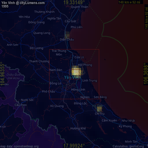
» NASA, Earths city lights 1995
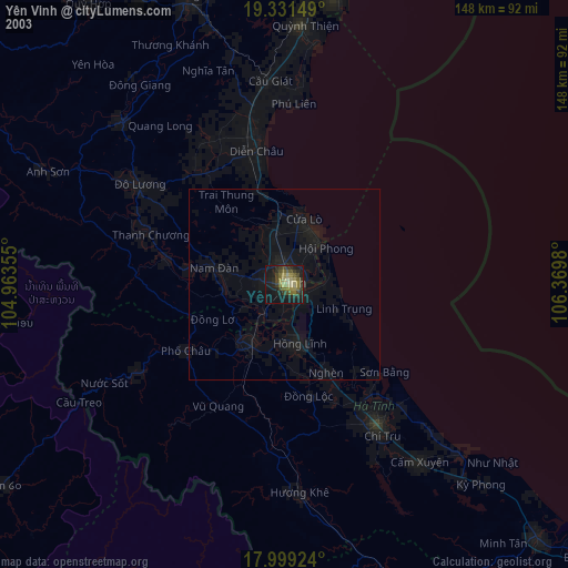
» NASA city lights 2003
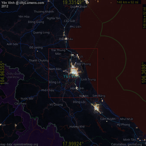
» Earth at Night: Flat Maps 2012, 2016